Frigid temperatures are on the way for the Lower Mainland this weekend.
An arctic outflow warning from Environment Canada is in effect for Metro Vancouver and the Fraser Valley from tonight (Jan. 11) to Saturday (Jan. 13) afternoon.
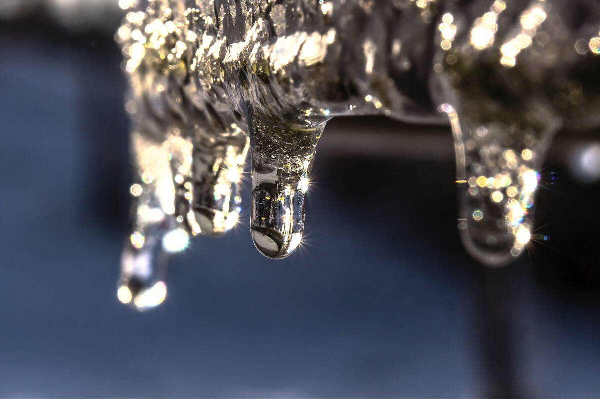
“Arctic air combined with strong outflow winds gusting to 60 km/h will generate wind chill values of – 20 C beginning on Thursday night,” the warning reads.
Environment Canada says wind chill values may moderate on Saturday afternoon but the timing of the warm-up remains uncertain.
The low wind chill could also lead to a risk of frostbite and hypothermia. Environment Canada says to dress in warm layers and to stay dry if outside, covering as much exposed skin as possible to avoid frostbite.
“Frostbite and hypothermia can occur within minutes if adequate precautions are not taken when outdoors. Any skin exposure will result in frostbite,” the warning reads.
Wind chill values on the Coquihalla Highway from Hope to Merritt are expected to approach -35 C from tonight to Friday (Jan. 12) morning.
Road conditions are available at drivebc.ca.
Black Press Media spoke with meteorologist Armel Castellan from Environment Canada about the extreme cold temperatures and snowfall warnings expected in weather alerts issued for Thursday, January 11th across most areas of the province.
READ MORE: B.C.’s snow-pack 44% below normal on heels of worst drought in recent memory