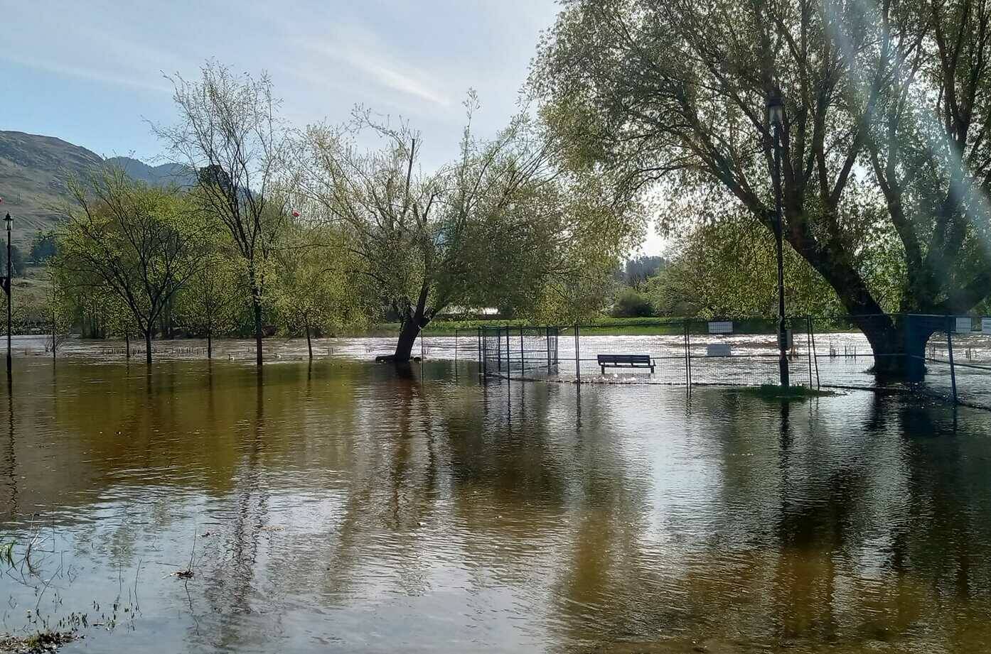
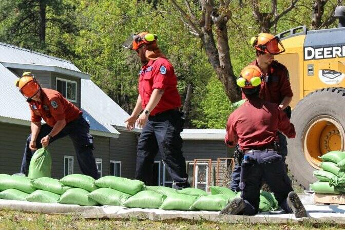
Officials have upgraded the Boundary region to a full flood warning.
In an update at noon Thursday (May 4), the River Forecast Centre said that rivers are expected to keep rising due to snowmelt runoff until Friday, before moderate to heavy rainfall is expected, creating significant flood hazards.
Currently the Granby River is currently flowing in the two-to-five-year flow range, but this could rise to levels that reflect a 10-year to 20-year flow.
Severe flooding that would be comparable to the devastating 2018 floods “may be possible in areas that receive high rainfall amounts,” the centre said.
Peak river levels are expected on Saturday through Monday.
A local state of emergency has been activated for rural Grand Forks, where 10 properties have been told to evacuate in Manly Meadows.
A further 34 properties are under an evacuation alert.
#RDKB has issued an #EvacuationOrder for Manly Meadows in rural Grand Forks as of 12 pm, May 4. EOC reps will be delivering evac orders to affected properties. For a list of addresses, visit https://t.co/TrDRnd9rhR pic.twitter.com/3NlWPqR73Z
— RDKB Emergency Info (@RDKB_Emergency) May 4, 2023
In a statement Wednesday afternoon, Grand Forks city officials said they continue to monitor river levels and urged everyone to exercise extreme caution.
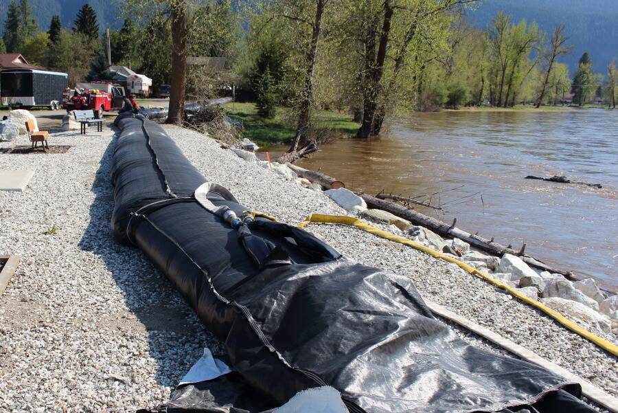
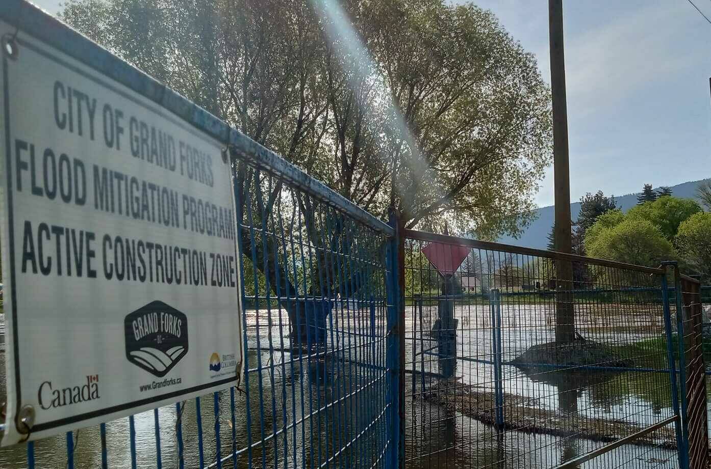
“Please obey signs and barricades blocking off trails due to fast-moving water or potential flooding areas, notably the Black Train Bridge, so that the work crews can continue the safe construction of Tiger Dams behind Roxul, South Ruckle,” the statement read.
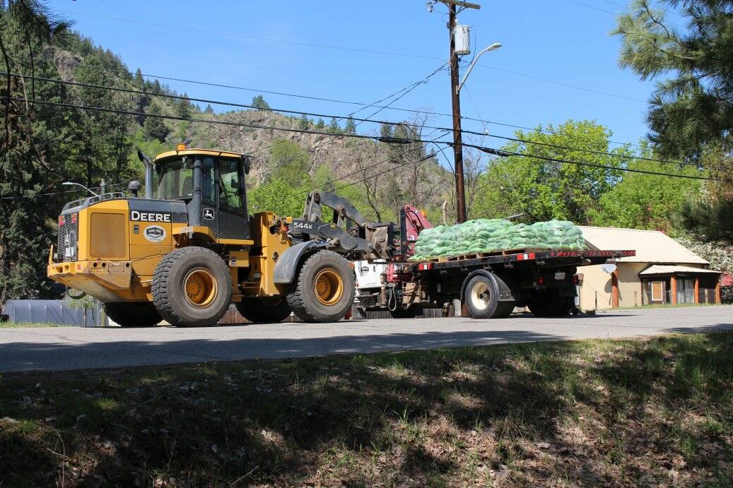
Sand piles and bags have been restocked at the following locations for public use:
– 18th Street near the Dog Park/West side of Evergreen Cemetery
– Grand Forks Airport (Fire Training Ground) – 2nd Street and 60th Avenue
– Morrissey Creek Road (Motocross at the ATV Staging Area)
– Barbara Ann Park (82nd Ave near Riverside Drive North)
– Jack Goddard Memorial Arena (2020 Central Avenue)
As we approach the 5-year anniversary of the devastating 2018 #BCfloods in Grand Forks, officials have upgraded the Boundary region 'watch' to a full warning. Basically, flooding is imminent.
10 properties in Manly Meadows under evacuation order, 34 more in rural GF on alert. pic.twitter.com/MtCNzBMd0R— Ashley Wadhwani-Smith (WAHD-WAH-NEE) (@ashwadhwani) May 4, 2023
On May 10, 2018, after a week of high temperatures and three days of rainfall Grand Forks and the Boundary Region experienced the worst flood in history, as the confluence of the Kettle and Granby Rivers exceeded a 200 year flood level.
More to come.
@ashwadhwani
ashley.wadhwani@blackpress.ca
Like us on Facebook and follow us on Twitter.
