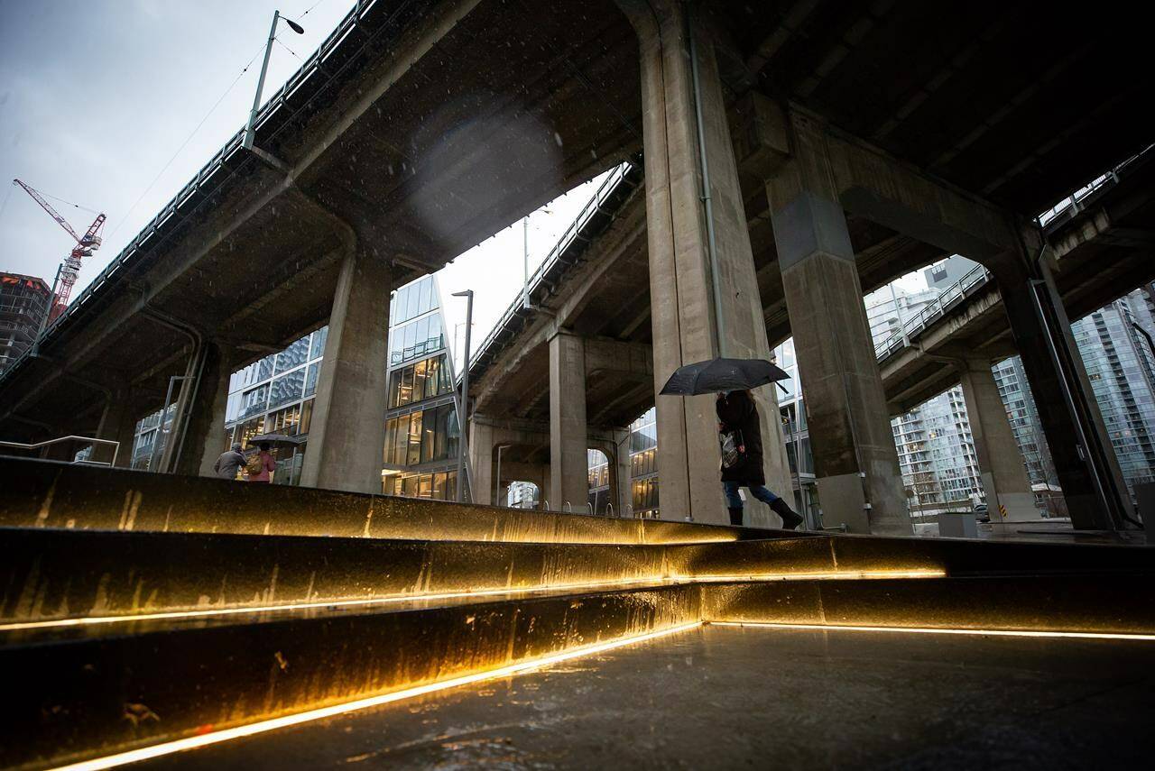
Rainfall and flood advisories remain in effect for parts of Metro Vancouver and the Sea to Sky region as balmy weather brings a series of rainstorms to British Columbia’s South Coast, melting any sign of heavy snowfall earlier this month.
Environment Canada says a series of atmospheric rivers is rolling over the area through Wednesday, bringing temperatures five to 10 degrees above normal.
A rainfall warning spanning parts of Metro Vancouver and Howe Sound says the warmer airmass will raise the freezing elevation to near 2,500 metres, and snow melting in the mountains could carry the potential for flooding downstream.
A special weather statement, meanwhile, says communities throughout Vancouver Island will also see heavy rain, bringing the potential for localized flooding and the risk of landslides in vulnerable areas, such as those burned in recent wildfires.
B.C.’s River Forecast Centre says the heaviest rainfall will hit western Vancouver Island and the Coast Mountains, with between 200 and 300 millimetres expected in the coming days.
The centre has posted flood watches covering all of Vancouver Island and much of the South Coast, while lower-level streamflow advisories are in effect for the Central Coast and the Lower Fraser region.
It says forecasts suggest the strongest atmospheric river will arrive on Monday.
Environment Canada meteorologist Armel Castellan says it will be very wet, but the storms won’t be as bad as the record-breaking floods of November 2021 that washed away bridges, swamped farmland and spurred landslides that killed five people.
The Canadian Press
READ MORE: Flood watch: Series of rain storms heads for B.C. coast

