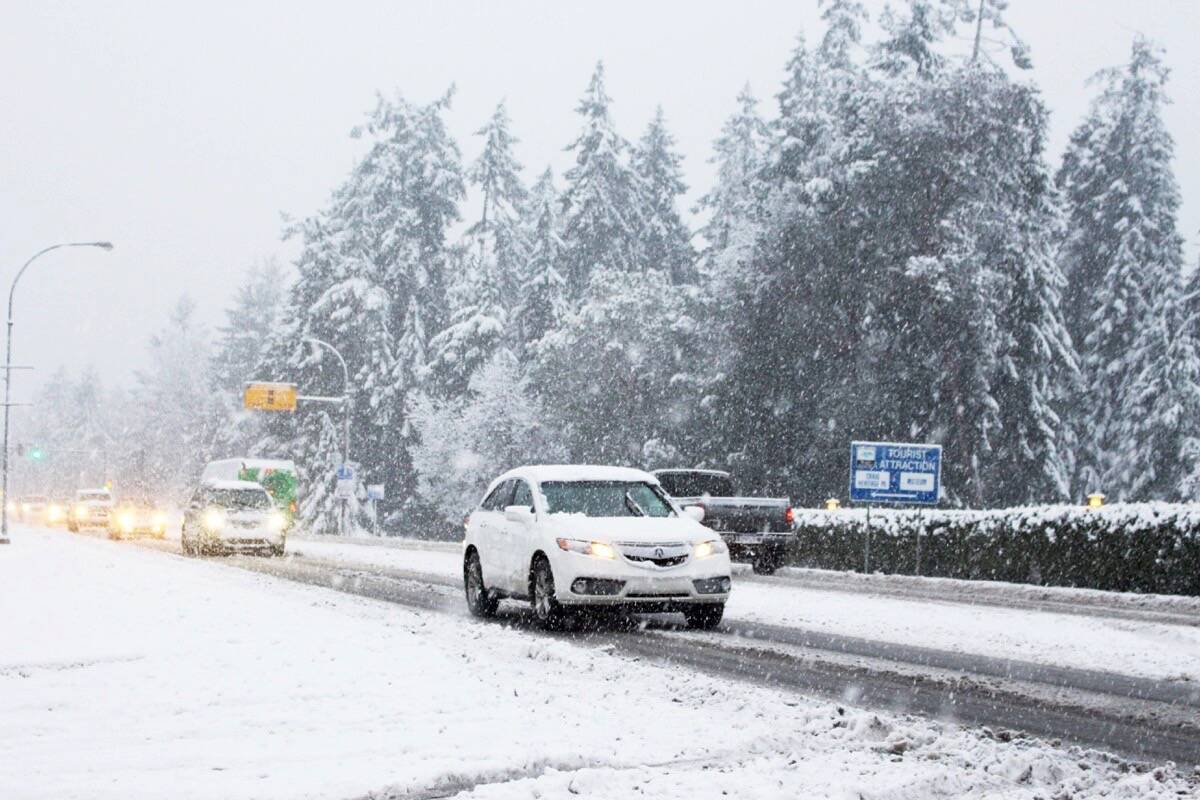
Snow has started falling in the Lower Mainland Saturday morning, while is wind storm is expected for the north coast.
Environment Canada has put out a couple of snowfall warnings for regions of the province, specifically higher terrain around inland and east Vancouver Island and Metro Vancouver.
READ MORE: Snow on the way for Vancouver Island, Lower Mainland
In the Lower Mainland, around five centimetres of snow is expected for higher elevations, while up five centimetres is expected elsewhere. Environment Canada is warning of slushy or slippery road and sidewalk conditions, along with reduced visibility.
The snow is not expected to stick, and should change to rain by the evening.
B.C.’s Transportation Ministry said in a release Friday (Dec. 8) ahead of the storm that crews are ready for winter on Lower Mainland roads and bridges, adding that the ministry has worked with its contractors to improve how plows and trucks are deployed.
“With any winter-weather event, bridge conditions can be unpredictable and can change quickly. Conditions on bridge structures, especially over water, behave differently than a regular highway.”
From Squamish to Whistler, between five and 15 centimetres are expected Saturday. Environment Canada is warning of winter driving conditions.
On Vancouver Island, the snow warning is in effect for inland and eastern regions, along with the Sunshine Coast and the Malahat Highway.
The forecast says about two centimetres of snow is possible in inland areas near the coast of Vancouver Island, with up to 10 centimetres possible over higher terrain. Port Alberni could see five centimetres, while higher inland regions could see up to 10 centimetres.
Throughout the rest of the Island, wind warning are in effect.
Greater Victoria and the Southern Gulf Islands are expected to see wind gusts of 70 km/h and up to 90 km/h, but it should die down by the early evening.
However, along northern parts of the Island, the central coast and up to Haida Gwaii, wind gusts of up to 100 km/h are expected.
The Bulkley Valley and Cariboo regions, along with Kitimat, Terrace and other northern sections of the province could see up to 10 centimetres, as well, along with a winter storm.
READ MORE: El Nino-fuelled warm start to winter could change: Weather Network
