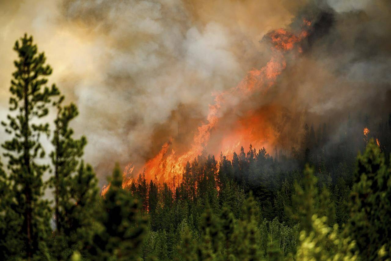
Crews fighting British Columbia’s largest-ever wildfire are hoping a “heavy, prolonged rain” in the forecast can help them turn the corner on the massive blaze.
Environment Canada has issued a special weather statement for the northeastern corner of the province where the Donnie Creek fire has burned close to 6,000 square kilometres of forest land.
The weather statement says a low-pressure system over Alberta will interact with the east Rockies, leading to heavy rain in northeastern B.C., creating accumulation of up to 70 millimetres until Thursday morning.
Prince George Fire Centre Information Officer Julia Caranci says the rain in the forecast is “very good news,” but they remain cautious because it may not fall evenly across the large area of the fire.
The Donnie Creek fire is the largest blaze on record in the 102-year history of the provincial firefighting effort, and its massive size helped to lift B.C. to a record wildfire season for area burned at almost 15,000 square kilometres.
Despite the rain, crews carried out a number of planned ignitions around the fire on Sunday, covering the northwest corner of the blaze, the BC Wildfire Service says in a tweet.
The ignitions solidified containment lines against the fire, and Caranci says crews will now wait until after this week’s rain has passed before reassessing the situation and determining if additional burns are necessary or possible.
And while the rainfall will help, Caranci says current estimates from the BC Wildfire Service show the precipitation will not be “season-ending” for the northern region’s wildfires, and the Donnie Creek blaze is still anticipated to be active into the fall.
Still, Caranci says the rain will likely “dampen things down” over the next seven to 10 days, allowing firefighters some “breathing room.”
She says it will give them time to make headway on smaller objectives for their overall plan, since attacking a fire of this size requires them to fight portions of the blaze at a time.
Meanwhile, rain has done little to quench major wildfires burning near the cities of Kamloops and Cranbrook.
The St. Mary’s River fire north of Cranbrook has burned close to 41 square kilometres and forced residents in 51 homes to evacuate, although an evacuation order of 16 homes in the Aq’am First Nation community has been rescinded.
The nearby Canadian Rockies International Airport says it’s “business as usual” with flights on time after the same fire threatened the site last week, forcing crews to conduct controlled burns around the airport.
Near Kamloops, crews continue to battle the 26-square-kilometre Ross Moore Lake wildfire, which triggered the evacuation of almost 350 properties as strong winds fed its rapid growth over the weekend.
Both blazes are among the more than 270 fires in B.C. classified as out of control.
There are about 480 active fires across British Columbia and almost 15,000 square kilometres of land has burned, surpassing a record set at the end of the 2018 wildfire season.
READ ALSO: Wildfire south of Kamloops blows up to 2,600 hectares
READ ALSO: Resources added for structure protection near 2,000 hectare Adams Lake wildfire
READ ALSO: More than 1K properties on alert, evacuation orders issued for wildfire near Invermere

