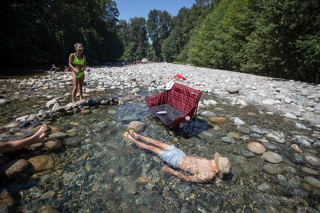
Things could be sizzling this weekend in most parts of British Columbia and it won’t have anything to do with the Thanksgiving turkey in the oven.
Environment Canada forecasts are calling for near-record temperatures, with highs up to 10 degrees above normal in many areas of northeastern B.C., the central and southern Interior, Kootenay, Okanagan and south coast.
The weather office says it could be 26 C in Port Alberni on Saturday and it could feel closer to 30 C with the humidex, while Prince George, Williams Lake, Kamloops and Kelowna are all forecast to reach or exceed 20 C on Sunday.
Vancouver should nudge 20 C over the weekend, but Environment Canada says the system bringing the warm fall weather will break down by early next week, bringing clouds, showers and cooler conditions to most of B.C.
Rain and more-seasonal temperatures are badly needed from Prince George and Terrace north and east to the territorial and Alberta boundaries as the latest provincial government drought map shows the entire region is now ranked at drought level 5, meaning adverse effects are almost certain.
The drought map offers a slightly improved forecast for most of southwest B.C., where conditions have slipped to Level 3 on the five-point drought scale, but the southern Interior, including the Shuswap, Okanagan and Fraser Canyon are ranked at Level 4, meaning adverse effects from the ongoing dry spell are likely.
The Canadian Press

