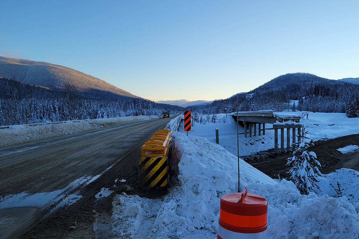
As B.C. continues to repair the damage caused by November’s historic flooding, the province says they’re prepared for any possible flooding related to spring runoff.
Often referred to as freshet, B.C.’s snowpack starts to melt as temperatures warm. Several factors, including snowpack levels, weather patterns and temperatures, influence the likelihood of freshet flooding.
Steve Sirett is the Executive Director for the Southern Interior region for the Ministry of Transportation and Infrastructure. His area stretches from the Great Bear Snow Shed on the Coquihalla to Quesnel and south down to the Alberta border — one of the most heavily impacted regions from the November flood.
Sirett told Black Press Media that crews continue to monitor B.C. highways that were damaged in the November floods even as they’ve been reopened to the travelling public.
READ MORE: Permanent repairs on Coquihalla highway expected in summer
“Over the last few months, we’ve been working really hard to shore up that work. We’ve been placing riprap in the rivers and additional armouring to further protect highways from what we know is coming with freshet.”
When freshet happens, MOTI has additional crews monitoring roadways for flood risk. The MOTI also has the equipment and additional riprap — a type of stone used to protect structures from scouring and erosion — if they need it.
Sirett expects additional sediment debris to flow through B.C.’s waterways that were impacted by flooding. The large volume of water moving through the waterways during the atmospheric river event has altered their morphology, which can change how and where the water flows.
“We’re not as concerned with that with the Coquihalla because of the height of the bridges, but we certainly look at the river channels upstream as well to see if there’s anything we should be concerned about. At this point, there’s nothing that would cause us great concern.”
Highway 8 through the Nicola Valley was largely destroyed during the floods. The highway remains closed, though Sirett said crews are working around the clock to restore access for residents.
READ MORE: Chief of B.C. First Nation struck by wildfires, floods says moving may be safest bet
“The terrain and the fact that the highway — in many areas — is just gone is a challenge. We really are rebuilding from the riverbed up in a lot of cases. The magnitude of it takes time. Right now our focus is on temporary access so people can get back home.”
Much of the repair work has occurred outside the normal construction season. As the weather warms, Sirett said he’s confident the MOTI and their contractors can complete even more work to repair B.C.’s highways.
The MOTI advises the travelling public to use extra caution during freshet. They recommend packing a properly stocked emergency kit in case of travel disruption. Such kits should include items such as food, water, blankets, extra clothing and shoes, a first aid kit and candles. They also recommend drivers check DriveBC for updated information about road conditions before travelling.
How likely is freshet flooding?
According to the B.C. River Forecast Centre’s April’s snow conditions and water supply report, the province is at an increased risk of freshet flooding — though that does not mean flooding is certain.
Across B.C., snowpack levels are at an average of 99 per cent, but range from 74 per cent to 134 per cent of normal.
“The combination of near-normal April 1st snowpack, La Niña conditions forecast to persist through spring, mountain snow accumulation in the first week of April, and seasonal weather forecasts that predict cooler conditions for the province means a slightly elevated risk for freshet-related flooding this spring,” the bulletin reads.
READ MORE: B.C. still finding cars, homes, debris in major rivers after November floods
Vancouver Island and the Okanagan have the lowest snowpack levels, followed by the Nechako and Boundary regions. Normal snowpack levels exist for the Upper Fraser West, Middle Fraser, Lower Fraser, South Thompson, West Kootenay, East Kootenay, Similkameen, South Coast, Central Coast, Skagit, Peace, Skeena-Nass, and Stikine. Slightly above normal snowpack exists for the Upper Fraser East, North Thompson, Upper Columbia, and Liard. The Northwest is well above normal.
The big risk is that temperatures remain cold and wet, followed by a sudden heatwave that lasts at least five days. The forecast centre said that the scenario could result in “significant” provincial scale flooding and is believed to have caused the 1948 and 1894 floods on the Fraser River.
Fortunately, the April 1 snowpack in the Nicola, Similkameen and Lower Fraser is not above normal. The forecast centre did warn that the November floods have left the regions at increased risk of freshet flooding because of changes in river bed morphology.
Flooding is possible in any freshet regardless of snowpack levels, as freshet flooding is heavily influenced by weather patterns from April to June.
READ MORE: B.C. can no longer wait to fight climate change after fires, floods, slides: minister
@SchislerCole
cole.schisler@bpdigital.ca
Like us on Facebook and follow us on Twitter.

