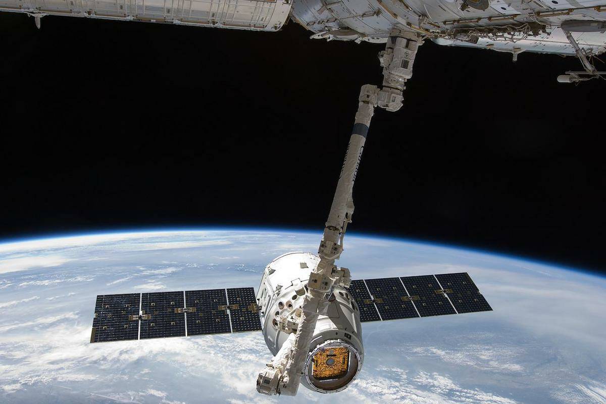
A Vancouver-based computer vision company is poised to make the invisible visible through views from space which allow them to see carbon emissions and aid climate change reduction.
Metaspectral announced today (June 14) that it has received $150,000 from the Canadian Space Agency to analyze data from low-Earth orbit (LEO) satellites between now until March 2023 in order to quantify greenhouse gas (GHG) levels on the Earth’s surface to help reach climate goals.
According to a Metaspectral news release, the project will analyze data captured by satellites and then process it using a platform that can accurately measure global carbon emissions within a three per cent margin of error.
Metaspectral’s technology makes it possible to observe otherwise invisible materials and characteristics through hyperspectral satellite imagery containing data from across the electromagnetic spectrum.
Accurate, real-time data on GHG levels will allow an environmental view of soils, forests, sea ice levels and more. It will also help measure emissions from oil and gas pipelines, leaks from deep-water drilling activity, and the monitoring of other hazards.
Many governments, including the Canadian government, have introduced pricing mechanisms for carbon emissions. Metaspectral says the information collected will allow observers to better see who is emitting what.
“Climate change is the most serious threat facing humanity,” said Metaspectral co-founder and CTO Migel Tissera. “This technology will make it possible to provide both the public and private sectors with the insights needed to adjust their environmental and climate change policies and plans, as well as reap the potential economic benefits.”
Funding is part of the smartEarth Canadian Space Agency initiative to quantify carbon dioxide (CO2) levels present at ground-elevation.
RELATED: Greenhouse gas emissions exempted, for big B.C. greenhouses
RELATED: B.C. greenhouse gas emissions up 5%, not counting forest offsets
RELATED: Cruise ships leading culprits in rising greenhouse gas emissions at Ogden Point: report

