The B.C. River Forecast Centre is warning that flood risk has “increased considerably” due to colder April temperatures across the province.
Colder than normal temperatures have delayed the spring snowmelt and continued cooler weather in May has increased the risk for “major flooding” if a prolonged heatwave or warm rains trigger snowmelts later in May or June.
“There are significant risks to many regions of the province if there is a strong heatwave or extreme precipitation over the upcoming two months,” the May 1 Snow Survey and Water Supply Bulletin states.
The May 1 snowpack across B.C. is above normal at an average of 113 per cent, up from 99 per cent of normal recorded in April. The snow basin index for the Fraser River at Hope is above normal at 123 per cent. The highest level in B.C. is 413 per cent in Liard and the lowest is 83 per cent in the Okanagan — the Okanagan is the only region with a slightly below normal snowpack.
Seasonal runoff forecasts are predicted to be above normal for McGregor River at Lower Canyon, Fraser River at Shelley, North Thompson River at McLure, Nicola Lake, Nicola River at Spences Bridge and the Similkameen River.
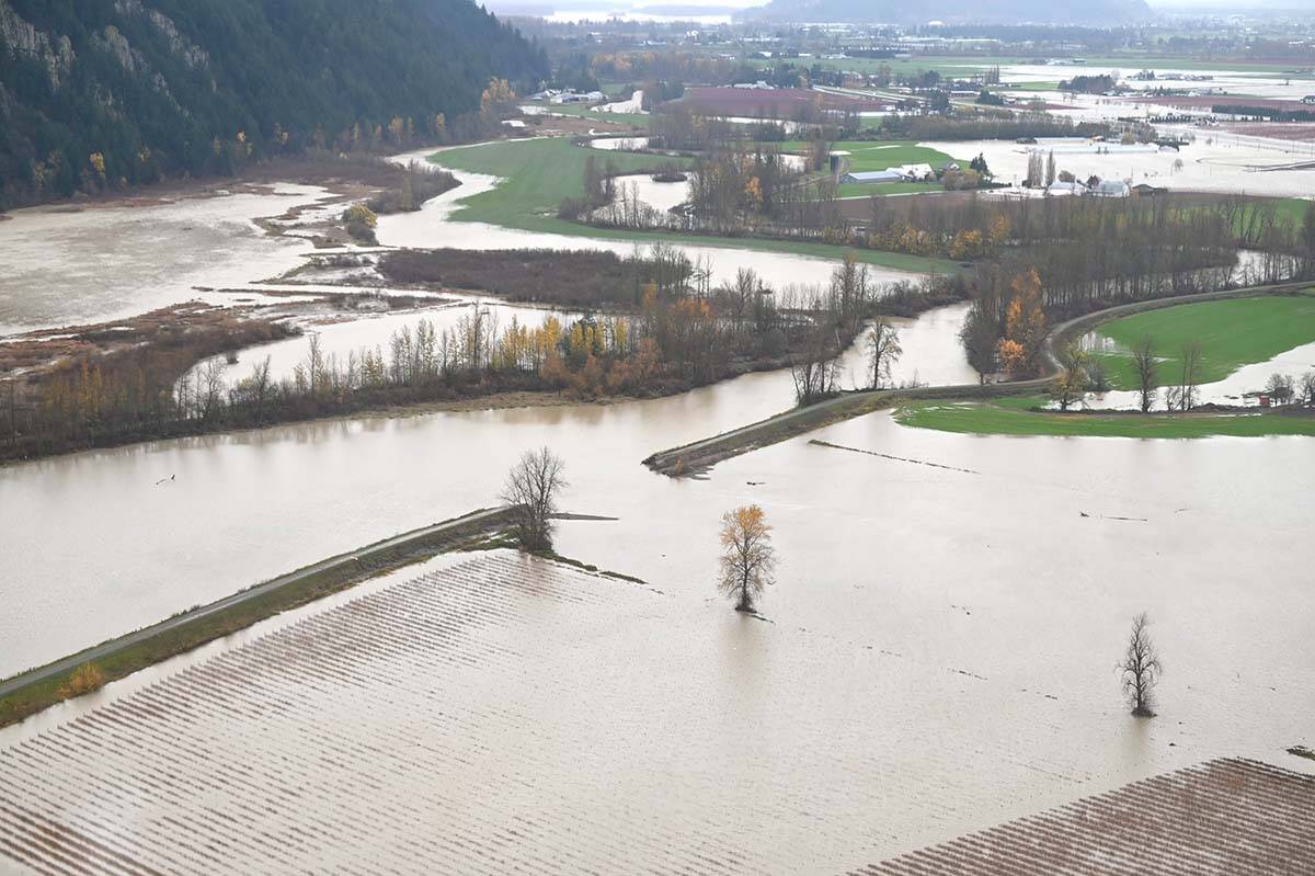
November’s catastrophic flooding has left many rivers more vulnerable to high flows from snowmelt, the River Forecast Centre said. Changes in river channel morphology have increased vulnerability to flooding at lower levels than in the past.
Last summer’s wildfire season will also have an impact, as many watersheds sustained significant burns. Damage from the fires has increased the risk of higher runoff flows.
The River Forecast Centre said this year’s snowpack and weather conditions have “many similarities” to that of 1948 where catastrophic flooding inundated the Fraser Valley.
The Centre cautioned that snowpack levels are not the only factor when it comes to snowmelt and flooding from runoff, but warned that weather conditions will play a significant role in what will come. Upcoming weather forecasts continue to predict seasonal to below-seasonal temperatures throughout B.C., which will likely delay snowmelt to mid or late-May.
“The greatest risk is if a significant province-wide heatwave occurs for a lengthy period over the upcoming couple months.”
READ MORE: B.C. says highways are prepared for spring runoff
READ MORE: B.C. expanding TV, radio alerts to cover flood and fire evacuations
@SchislerCole
cole.schisler@bpdigital.ca
Like us on Facebook and follow us on Twitter.

