Just shy of 40,000 hectares – or 75,000 NFL-sized football fields – have burned as the result of wildfires so far this year in B.C.
The number is a large one, but just a fraction of the more than 850,000 hectares that burned in 2021, and the 10-year average of 320,377 hectares burned per wildfire season in the province.
The only years with lower burn areas in the last decade, according to BC Wildfire Service data, are 2020 at 14,536 hectares, 2019 at 21,138 hectares and 2013 at 18,298 hectares. The most destructive years were 2017 and 2018, with 1.2 million and 1.35 million hectares burned, respectively.
The relatively low burn area so far this year is thanks in large part to the wet winter and cool spring B.C. experienced, according to BC Wildfire Service. The province saw very few wildfires until about the end of July when more hot, dry conditions set in.
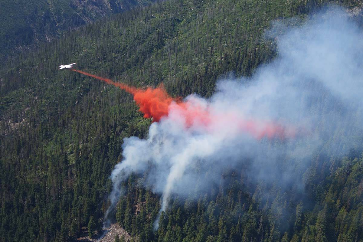
As of Monday (Aug. 22), 192 fires are actively burning throughout B.C., 69 of which started in the last two days. Lightning is the culprit for the vast majority of them (78.6 per cent), with another 7.8 per cent attributed to people and the cause of 13.5 per cent unknown.
Regionally, the majority are concentrated in the southern third of the province, with 79 in the southeast and 31 in the Kamloops area. Another 27 are burning around Prince George, 22 are located near the coast, 18 are in the northwest and 15 are in the Cariboo region.
READ ALSO: Emergency rooms close in B.C., paramedics union says ambulances unstaffed
Of the 192 burning, six are classified as “fires of note” for their visibility and/or potential threat to the public. They include:
Keremeos Creek
Estimated fire size: 7,042 hectares
Location: 21 kilometres southwest of Penticton
Discovered: July 29
Cause: Under investigation
Wind and topography continue to drive fire behaviour at Keremeos Creek, according to BC Wildfire. The blaze grew 100 hectares on Saturday due to wind at high elevations and a couple planned ignitions.
The fire is stable along the western side of Highway 3A, but BC Wildfire says smoke will remain in the area.
Evacuation alerts are in effect.
There are 179 firefighters, 15 helicopters and 19 pieces of heavy equipment on scene.
Briggs Creek
Estimated fire size: 2,160 hectares
Location: 11.5 kilometres west of Kaslo
Discovered: Aug. 1
Cause: Lightning
New mapping of the area was completed on Sunday during a break in the smoke, revealing a total burn area about 430 hectares larger than previously reported. BC Wildfire says the increase is due both to the more accurate mapping and some growth that occurred over the last week.
Structures are not currently threatened by the fire, but an evacuation alert and area restriction are in effect in the region.
Fifty-three firefighters and one helicopter are on scene.
Connell Ridge
Estimated fire size: 1,707 hectares
Location: 23 kilometres south of Cranbrook
Discovered: Aug. 1
Cause: Lightning
Crews worked Sunday to attack hot spots in the fire, after an infrared scanning team identified the worst areas Saturday night.
An evacuation alert was rescinded Saturday afternoon, but an area restriction remains in place.
There are 82 firefighters on scene, along with 12 helicopters and seven pieces of heavy equipment.
Cummings Creek
Estimated fire size: 52.6 hectares
Location: 5 kilometres west of Sparwood
Discovered: Aug. 3
Cause: Lightning
As of end-of-day Monday, the wildfire will no longer be considered a fire of note, according to BC Wildfire.
An infrared team will be working Monday night to identify hot spots for crews to extinguish. Sprinkler systems and hoselay remain in place in case they’re needed and BC Wildfire says it will conduct a daily assessment of the blaze.
There are 13 helicopters on scene.
Weasel Creek
Estimated fire size: 1,119 hectares
Location: 2 kilometres west of Frozen Lake and 39 kilometres southeast of Baynes Lake
Discovered: Aug. 4
Cause: Lightning
The wildfire’s burn area was updated Monday morning from 648 to 1,119 hectares.
Crews are setting up a new camp closer to the fire, to reduce drive time and allow firefighters to stay on scene longer. It’s expected to be ready by end-of-day Monday.
Heavy equipment crews are also working to build a bridge across the Couldrey Creek tributary to allow better access.
An area restriction is in place.
There are 79 firefighters on scene, along with 12 helicopters and 14 pieces of heavy equipment.
Mount Docking
Estimated fire size: 1,333 hectares
Location: 27 kilometres east of the Village of Radium Hot Springs
Discovered: July 30
Cause: Lightning
Fire behaviour decreased from Saturday morning into Sunday, but it continues to burn in steep, hard-to-reach areas.
An area restriction is in place.
There are 39 firefighters, one helicopter and two pieces of heavy equipment on scene.
Editor’s note: This story has been updated with the latest data from BC Wildfire Service.
@janeskrypnek
jane.skrypnek@blackpress.ca
Like us on Facebook and follow us on Twitter.
B.C. Wildfires 2022bc wildfiresBritish ColumbiaEmergency Preparedness
