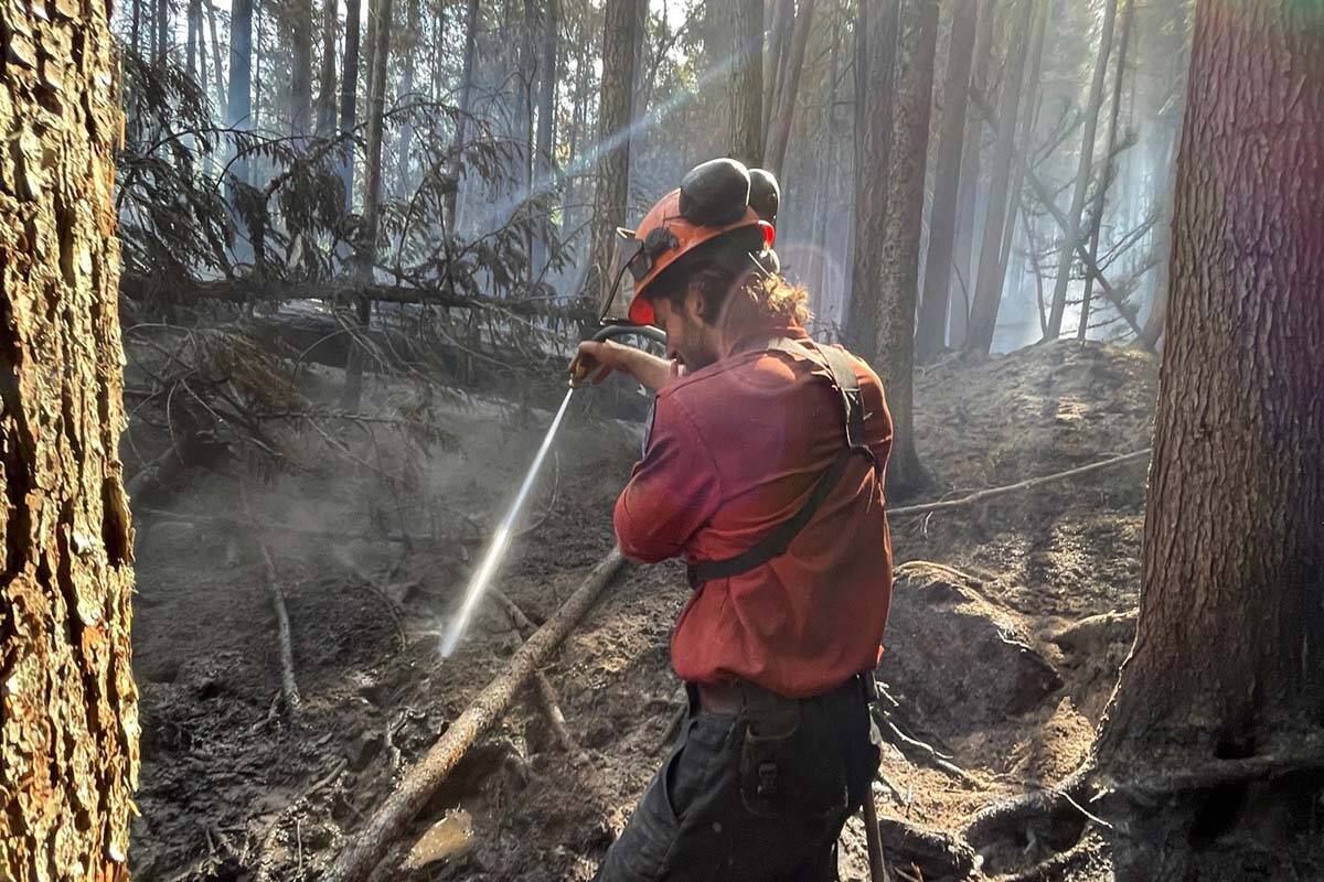
The number of blazes BC Wildfire Service considers particularly visible or threatening is set to reduce from five to three.
By end-of-day Thursday (Aug. 25), the Briggs Creek fire near Kaslo and Mount Docking fire near Radium Hot Springs will no longer be classified as fires of note. Fire behaviour in both areas is considered low and under control.
Across the province, 82 of the 230 wildfires actively burning are out of control, according to BC Wildfire. Another 65 are under control and 34 are being held. Forty-four fires are considered new, with the final five considered fires of note (soon to be three).
Lightning is believed to be the cause of 76.1 per cent of them, with people behind another 7.4 per cent and the start of the remaining 16.5 per cent unknown.
The majority continue to burn in the southern half of B.C., where weather has been the hottest and driest. There are 84 wildfires in the southeast, 34 in the Kamloops fire region, 39 along the coast, and 16 in the Cariboo region. Another 39 are burning in the Prince George fire region, with the final 18 in the northwest.
Since the start of this year’s wildfire season, 39,070 hectares have burned. That’s compared to more than 850,000 hectares in 2021 and a 10-year burn area average of 320,377 hectares.
READ ALSO: Canadian forces drones tapped to help look for escaped B.C. zoo wolves
By end-of-day Thursday, the three fires of note will include:
Keremeos Creek
Estimated fire size: 7,000 hectares
Location: 21 kilometres southwest of Penticton
Discovered: July 29
Cause: Under investigation
BC Wildfire says fire behaviour is minimal around the blaze’s perimeter, but that incoming thunderstorms could bring high winds and increased activity.
The fire is stable along the western side of Highway 3A, but BC Wildfire says smoke will remain in the area until there is significant rainfall. Smoke that is seen outside the fire’s perimeter should be reported.
Evacuation alerts have been ended, but the Keremeos Creek Forest Service Road remains closed.
There are 139 firefighters, 10 helicopters and four pieces of heavy equipment on scene.
Connell Ridge
Estimated fire size: 1,719 hectares
Location: 23 kilometres south of Cranbrook
Discovered: Aug. 1
Cause: Lightning
Bits of rain and cooler weather throughout last weekend and into the start of the week have helped to decrease fire activity.
Crews are working to extinguish remaining hot spots based on infrared scanning a team completed Saturday night.
An evacuation alert was rescinded Saturday afternoon, but an area restriction remains in place.
There are 73 firefighters on scene, along with five helicopters and three pieces of heavy equipment.
Weasel Creek
Estimated fire size: 1,088 hectares
Location: 2 kilometres west of Frozen Lake and 39 kilometres southeast of Baynes Lake
Discovered: Aug. 4
Cause: Lightning
The wildfire’s burn area shrunk by about 89 hectares Wednesday, but the wildfire’s status remains as out of control.
Crews have completed setting up a new camp closer to the fire, which is reducing drive time and allowing firefighters to stay on scene longer.
The area of the fire with the most activity is at the western end of Couldrey Creek. There, the flames are sticking primarily to the ground, while occasionally burning up some trees.
An area restriction is in place. BC Wildfire Service is reminding those driving along Forest Service Roads outside the restricted area to follow safety rules, including calling their kilometres and driving at safe speeds.
There are 57 firefighters on scene, along with five helicopters and 15 pieces of heavy equipment.
@janeskrypnek
jane.skrypnek@blackpress.ca
Like us on Facebook and follow us on Twitter.

