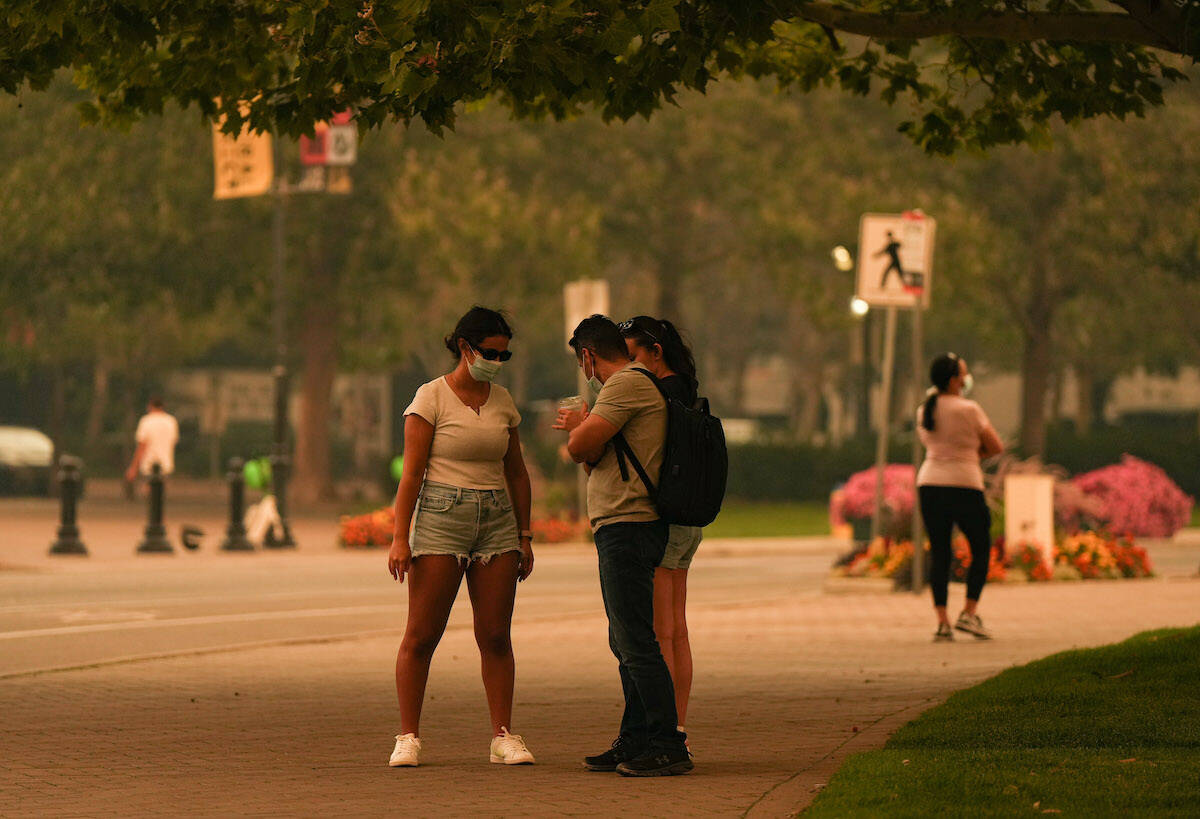
As British Columbians now sit under a provincial state of emergency, Okanagan residents endured another sleepless night as three major fires and dozens of others proved troubling and aggressive for fire crews.
Tragically, more structures were lost in the Sorrento area near Salmon Arm, due to the Lower East Adams Lake fire that continues to grow, sparking further evacuation orders along the way.
READ MORE: Firehall, other structures believed lost to wildfire in North Shuswap
As of Friday mid-day, there were 4,800 properties impacting 15,000 people under evacuation order across B.C. – with a lion’s share in Okanagan – and that number has grown exponentially since.
An update is anticipated by B.C. Wildfire officials in coming hours.
On Friday, Premier David Eby declared a provincial state of emergency to the backdrop of B.C.’s worst wildfire season on record.
McDougall Creek Fire – West Kelowna
Size and location: 10,500 hectares, started 10 km northwest of West Kelowna
State and cause: Considered out of control, and cause under investigation
Current evacuations: An estimated 3,000 properties are under evacuation order and 4,801 properties are under evacuation alert.
There were 80 structure personnel working overnight on this growing fire, BC Wildfire Service said in an update late Friday. Overnight response was largely fire front following tactics, evacuating residents and fighting fire in neighbourhood and interface areas as it came down towards homes.
Fire activity is expected to remain aggressive, and crews will be prioritizing sides of the fire that are closest to homes.
The two wildfires that sparked in Kelowna late Thursday in the Wilden and McKinley areas night are still considered out of control as well.
Crater Creek – Similkameen
Size: 22,000 hectares, started 19 km southwest of Keremeos
State and cause: Considered out of control, caused by lightning
Current evacuations/updates: Electoral Area “G” along the Similkameen River on the west side of Highway 3 from 3675 Highway 3 to 4355 Highway 3. This includes Suncatchers RV Park, Riverside MH Park and Lucky R MH Park.
READ MORE: Mobile home parks evacuated due to Crater Creek wildfire near Keremeos
READ MORE: Chief frustrated with how Crater Creek wildfire near Keremeos has been handled
This fire is burning in steep and dangerous terrain.
The west and south flanks of this fire are exhibiting Rank 3 fire behaviour, meaning a moderately vigorous surface fire with an organized flame front, the potential for occasional candling and a moderate rate of spread, wildfire officials said in an update. The southeast corner is exhibiting Rank 4 fire behaviour, meaning a highly vigorous surface fire with an organized flame front and a moderate to fast rate of spread with the potential for short-range spotting.
There are visibility challenges along the northeast flank of the fire.
Lower East Adams Lake – Chase/Sorrento
Size: 10,000 hectares
State and cause: Out of control, caused by lightning
Current evacuations/updates: The following Celista properties are under evacuation order : 4001 to 4596 Meadow Creek Road. The remainder of Meadow Creek Road, and the communities of Lee Creek and Scotch Creek, are now under evacuation order.
The entire Village of Chase is now on evacuation alert.
READ MORE: North Shuswap evacuation order expanded, order issued for Turtle Valley
Extreme fire behaviour developed around 2 p.m. Friday, driven by winds from the north. Multiple evacuation orders have been issued this evening.
It is unknown at this time how far the fire has spread south or east. Operations will fly the fire as early as possible Saturday morning. BCWS will be in close coordination with local authorities for response objectives.
BC Wildfire Services is expected to have updates for the fires around 8 a.m.
Kookipi Creek – Boston Bar
Size: 8,700 hectares
State and cause: Out of control, caused by lightning
Current evacuations/updates: Evacuation orders are in effect within the Fraser Valley Regional District, Thompson-Nicola Regional District, Lytton First Nation and Kanaka Bar Indian Band.
READ MORE: More evacuation orders and alerts for Kookipi Creek wildfire
Gusty winds, following the recent heat wave and drought conditions, have resulted in extreme fire behaviour and further growth to the north and east past the Nahatlatch and Fraser Rivers, crossing into the Kamloops Fire Centre.
This fire is burning in complex, steep terrain and today continued high winds are resulting in extreme fire behaviour.
#BCWildfire Service continues to action Kookipi Creek wildfire (V11337) originally located approximately 16 km northwest of Boston Bar and seven km east of Nahatlatch Lake. It’s currently 8,791 ha in size. pic.twitter.com/728Nk3G9Kp
— BC Wildfire Service (@BCGovFireInfo) August 18, 2023
B.C. Wildfires 2023Breaking News

