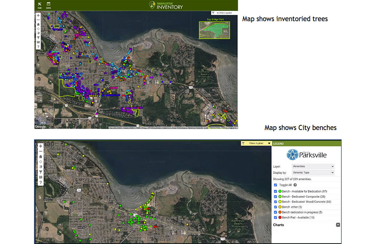
At the Sept. 20 Parksville city council meeting, Warren Payne, parks supervisor, provided council with information on TreePlotter, a web-based comprehensive GIS tree management software application for field data collection and data management.
Operations staff use this information to plan their work, monitor and assess trees.
Trees are plotted on a map in the field or in the office with any web connection.
Information collected for each tree includes common and Latin name, location, condition, size, required maintenance tasks, and an inspection cycle.
The program can generate reports on trees and calculate ecosystem benefits provided by the trees such as estimate of air quality, carbon, and stormwater benefits.
READ MORE: City of Parksville to create special ecological reserve zone on Despard Avenue
The City of Parksville’s operations department has inventoried almost 3,700 tree locations, mostly in parks and on boulevards; there are many boulevards and other public areas yet to be inventoried.
Large tracts of urban forest areas such as Top Bridge park or the Parksville Wetlands are also not yet inventoried.
In 2020, with an upgrade to the software, the program is now being used to inventory other park assets such as benches, garbage cans, memorial bench and tree program, and facility attributes.
The city recently announced that consultant, Diamond Head, has undertaken an urban forest strategy.
Prior to starting the strategy to determine what Parksville’s urban forest would be in the future; the city knew it would be important to establish a baseline or status of the its current urban forest.
– NEWS Staff, submitted

