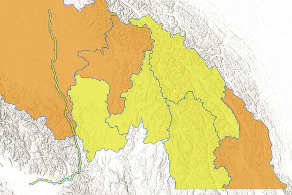
A flood watch has been issued for the East Kootenay region, as modelling indicates high river flows and flood risks on Monday and Tuesday, according to the River Forecast Centre.
A number of rivers are at or approaching two-year return period flows, such as the Elk River near Fernie, Bull River southeast of Cranbrook and Kootenay River at Ft. Steele.
Flood Watch issued by the River Forecast Centre for East Kootenay, including Elk River near @CityofFernie, Bull River, Kootenay River, Kaslo River, Slocan River, and tributaries around @NelsonBC and @TownofCreston. More info: https://t.co/BQevs5ltYc
— Emergency Info BC (@EmergencyInfoBC) June 12, 2022
“Current hydrologic modelling is indicating risks for flooding over the Monday and Tuesday period, particularly in the East Kootenay region,” reads a bulletin from the River Forecast Centre. “Flows in the 5-year to 10-year return period range are likely, with flows in the 20-year range or higher being possible.”
A high streamflow advisory has also been issued for Upper Columbia waterways, including the Kicking Horse River, Illecillewaet River and tributaries around Invermere, Radium, Golden and Revelstoke.
In the West Kootenay, a high streamflow advisory was also issued for Kaslo River below Kemp Creek, Slocan River near Crescent Valley and tributaries around Nelson and Creston.
While the spring melt is a factor, so too is forecasted rain in the region.
On Sunday (June 12), Environment Canada a special weather statement for the southern interior region, including the Kootenays, warning of prolonged rainfall.
Forecasted rainfall is expected at 30-50 millimetres from Sunday evening through to Tuesday.
trevor.crawley@cranbrooktownsman.com
Like us on Facebook and follow us on Twitter
Want to support local journalism during the pandemic? Make a donation here.

