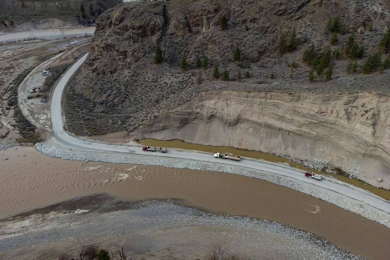
The potential for flooding has prompted several evacuation alerts in British Columbia as warmer weather and rain speed snowmelt.
Cold, rainy weather delayed the spring thaw by about a month and there’s concern that several days of above average temperatures could cause heavy snowpacks to melt rapidly, overwhelming some waterways.
A flood watch has been issued by the River Forecast Centre for the Bulkley River in northwestern B.C., and evacuation alerts are in effect for low lying properties on either side of the river at Smithers.
Evacuation alerts have also been posted for northern B.C., in the Regional District of Kitimat-Stikine, for properties along the Skeena River north of Terrace.
High streamflow advisories cover much of northern and north-central B-C, and extend from the Cariboo south to the United States border.
Forecasters say current modelling suggests rain and snowmelt could cause some flooding this weekend, with areas around the Okanagan and Boundary regions among the hardest hit, but rainfall amounts remain uncertain.
—The Canadian Press
RELATED: Parts of B.C. Interior under high streamflow advisories with rain in the forecast
RELATED: Cooler weather brings slow start to B.C.’s wildfire season, but July expected to heat up

