Approximately 580 people are on evacuation alert in B.C. as delayed snowmelt and wet weather have swollen waterways in the province.
During a Friday (June 17) news conference, provincial officials said that B.C. is in the middle of spring freshet season — the time of year that snowpack in higher elevations melts.
Dave Campbell, head of the B.C. River Forecast Centre, said the province is entering the peak freshet window and expects that to continue over the next week or two.
A flood warning is in place for the Liard River basin. Flood watches are in place for the Central Coast, Peace region, Quesnel, North Thompson, and South Thomspon. High streamflow advisories are in place for the Thompson, Northwest, West Kootenay and East Kootenay.
The short-term weather forecast is calling for unsettled weather and potential for thunderstorms in the Kootenays, the East Okanagan and the Cariboo, the Peace, and the north.
READ MORE: Monitoring for flooding as Okanagan Lake exceeds full pool
Armel Castellan, warning preparedness meteorologist with Environment and Climate Change Canada, said there likely won’t be any heat events until the second half of July and a “drier pattern” is evolving for the last couple weeks of June.
The lack of high-heat events is critical to mitigating flood risk, as prolonged higher temperatures during peak freshet could lead to rapid snowmelt and dramatically increase flood risks.
Ian Cunnings, senior regional manager with Emergency Management BC, cautioned residents in flood-prone areas to be prepared for potential flooding. Cunnings recommended residents prepare a “go bag” with medications and important documents. Residents should also reach out to family and friends to plan for accommodation if they need to be evacuated. Though emergency accommodation will be available for people who have no other alternative.
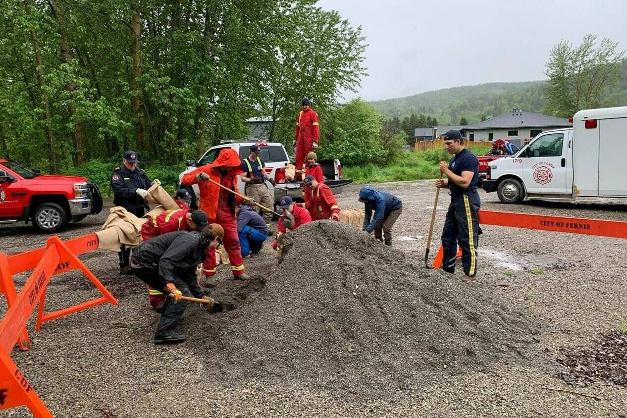
So far, more than 5,000 sandbags have been deployed in B.C. to keep rising waters at bay, primarily in the Interior and the Fraser Valley. Cunnings said EMBC has flood mitigation assets positioned in high-risk areas and continues to shift resources as threats shift.
Members of the BC Wildfire Service are assisting in sandbagging efforts, 150 BCWFS members are on standby to assist with flood mitigation efforts.
The Central Okanagan Regional District issued a warning Friday that Okanagan Lake was three centimetres above full pool and was expected to rise into next week.
“Residents who live in areas that are prone to flooding are asked to take precautions to protect their properties,” the district said in a news release.
High winds are in the forecast Friday and another spring storm is expected to bring more rain Saturday, the district cautioned.
Sandra Follack, the district’s emergency program co-ordinator says its mitigation efforts along creeks and the lakeshore over the past few years are working to reduce the impacts of high-water.
“This has allowed our crews to focus the installation of temporary flood protection measures, like sandbags and pumps, in key areas.”
The flood warning for the Laird River and its tributaries around Fort Nelson, Highway 97 and Watson Lake in northeastern B.C. has remained in place since last week.
Flood watches are up on the central coast, Quesnel River and the north and south Thompson rivers.
High streamflow advisories are in place for the Peace River basin, the northwest corner of B.C., and the east and west Kootenay regions.
—with a file from Canadian Press
READ MORE: Flood watch: Creek still too high to search for missing Kelowna woman
@SchislerCole
cole.schisler@bpdigital.ca
Like us on Facebook and follow us on Twitter.

