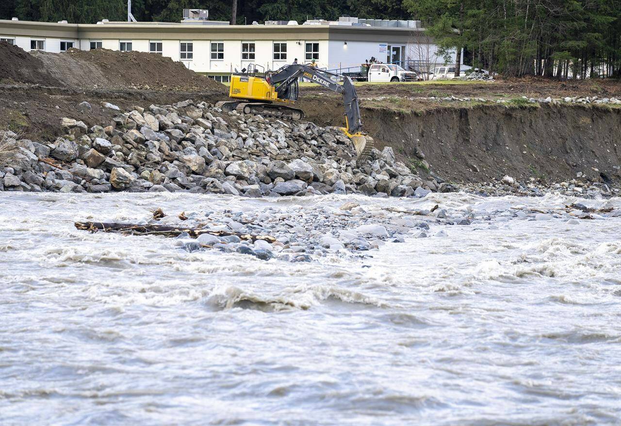
The River Forecast Centre has issued another flood watch as heavy rains swell a waterway that winds through parts of Kelowna, B.C.
The centre says flows on Mission Creek increased rapidly overnight and will continue to rise through Tuesday, depending on the amount of additional rainfall.
High streamflow advisories remain in place for many other rivers and streams across southern and southeastern B.C. after as much as 35 millimetres of rain fell in the last day.
Thundershowers and downpours are forecast across the southern Interior and Kootenay regions, but the centre says river level estimates are challenging because the location and intensity of rainfall is hard to predict.
The expected storms prompted the District of Sicamous to issue its fourth evacuation alert since May for the Sicamous Creek Mobile Home Park where 27 properties could be affected by mudflows from an unstable hillside above the homes.
Elsewhere, the River Forecast Centre replaced a flood watch for the upper Fraser River with a high streamflow advisory as conditions around Prince George ease, but watches are still posted for the Nechako, Thompson and South Thompson rivers, while a flood warning is still up for the Quesnel River east of Williams Lake.
—The Canadian Press
RELATED: Thunderstorm, rain brings new high streamflow advisory for the Okanagan

