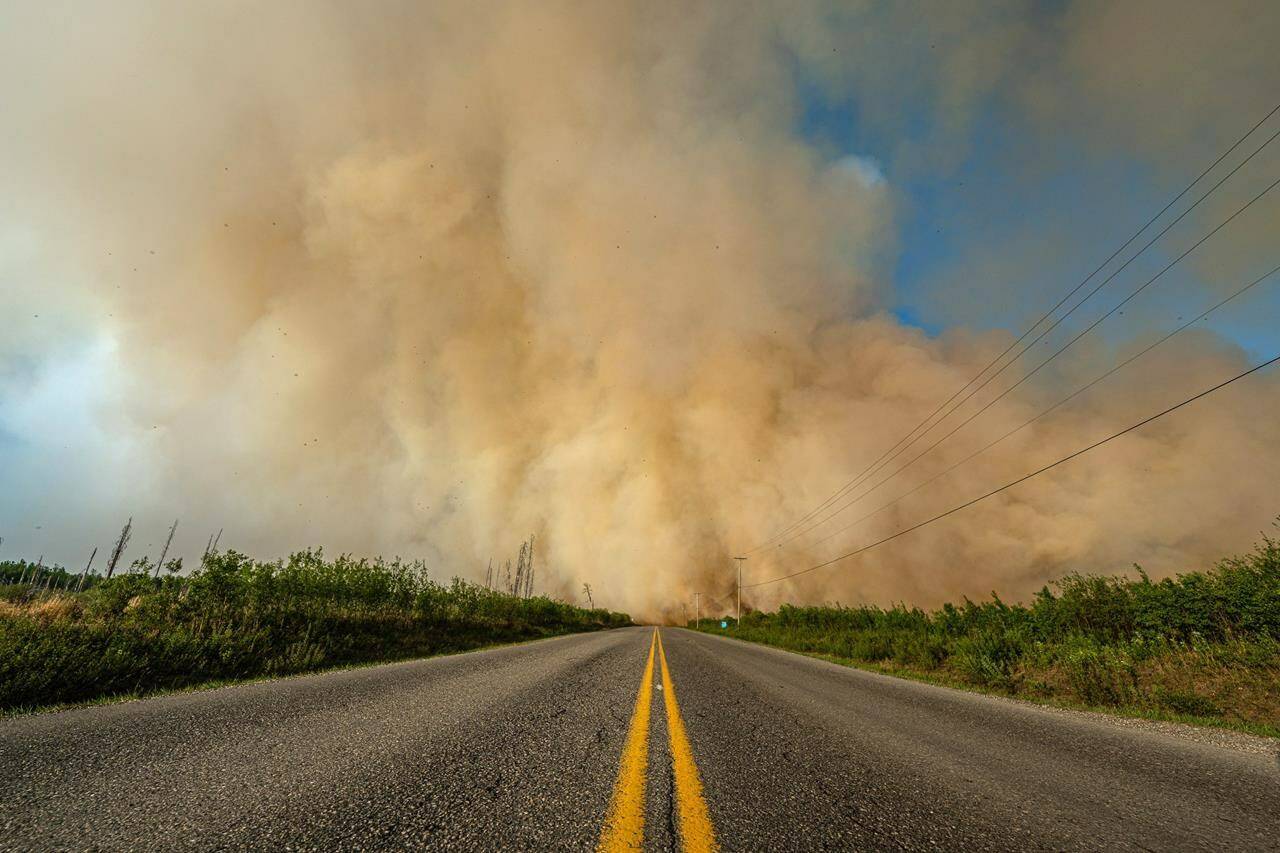
British Columbia’s wildfire service says it is cautiously optimistic that rain later this weekend will help crews contain the large wildfires burning near Fort St. John for the last two weeks.
Fire Information Officer Karley Desrosiers says the Stoddart Creek wildfire — the largest of the blazes— grew by only six square kilometres in the last 24 hours, aided by southerly winds blowing the flames north.
The fire is now measured at 266 square kilometres, and Desrosiers says crews will take advantage of the blaze’s northerly direction to set up a controlled burn near Highway 97 at the fire’s southern edge.
If successful, the controlled burn would significantly boost the lines of defence when the wind direction is forecasted to change back towards the south later in the weekend.
Environment Canada is forecasting a 30-to-40 per cent chance of showers for Fort St. John on Saturday and Sunday, followed by rain on Monday.
But the forecast is also calling for thunderstorms for both Saturday and Sunday, and Desrosiers says crews are on the watch for “dry lightning” and any new potential fires that may get ignited if rain does not fall in significant amounts.
The Canadian Press
READ MORE: Severe thunderstorm watch issued throughout B.C. Interior

