Update: 10:19 p.m., Aug. 18
Lytton First Nation has issued more evacuation orders and alerts as of Friday night (Aug. 18).
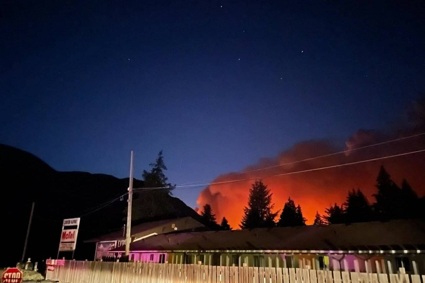
Kitzowit IR20, Lytton 26A, Skwayanope 26, Lytton 31, and Nikeyeah 25 have all been issued evacuation orders.
An evacuation alert has also been issued for Papyum 27A, Lytton 27B, and Nohomeen 23.
For more information visit Emergency Info BC’s twitter page.
Update: 5:15 p.m., Aug. 18
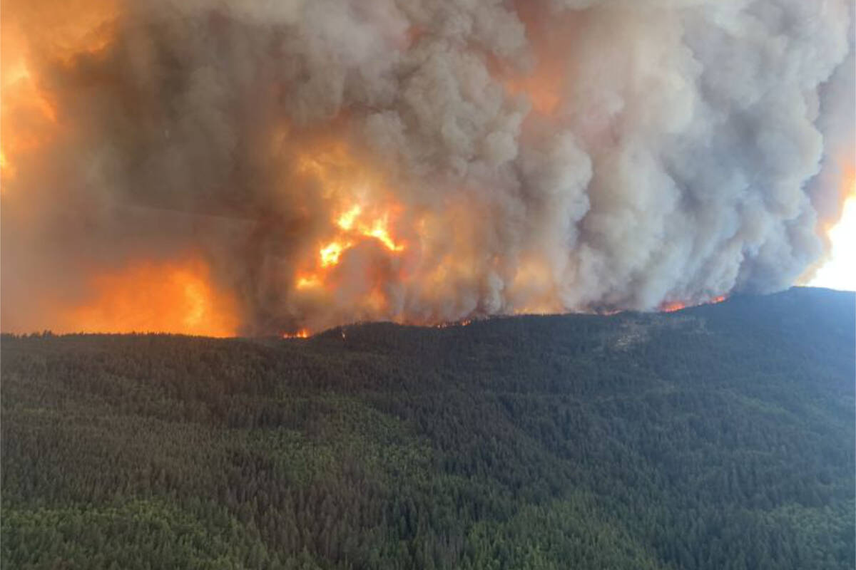
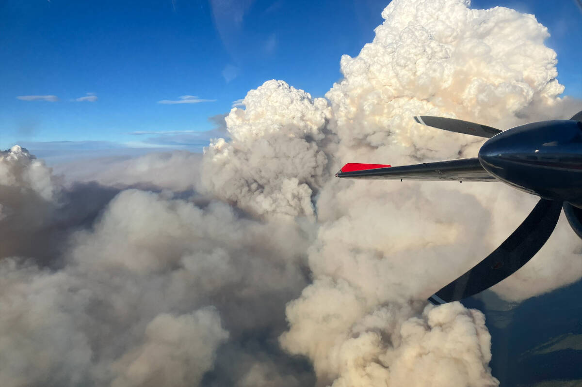
The Kookipi Creek wildfire near Boston Bar has grown to 8,791 hectares as of Friday afternoon (Aug. 18), quadrupling in size since the morning, when it was estimated at 2,000 hectares. The BC Wildfire Service (BCWS) reports that gusty winds have resulted in extreme fire behaviour and further growth to the north and east, and notes that the fire is burning in complex, steep terrain.
Three helicopters, a bird dog, and two officers are on scene, along with multiple crews who worked through the night and continued working through Aug. 18 to protect vital infrastructure in the area, including transmission lines, railways, and Highway 1.
Evacuation orders and alerts issued by the Fraser Valley Regional District, Thompson-Nicola Regional District, Lytton First Nations, and Kanaka Bar Indian Band are still in place.
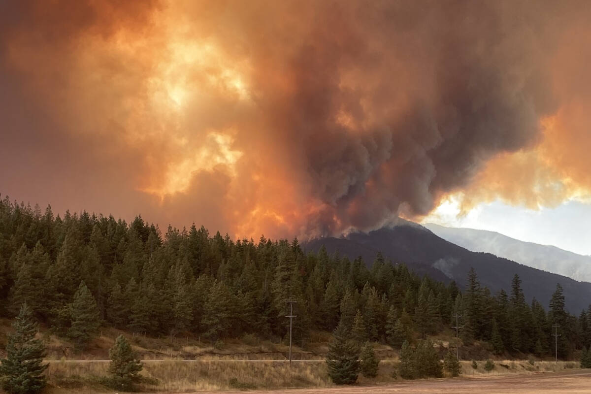
The fire has crossed Highway 1, resulting in the closure of the highway in both directions. Ministry of Transportation and Infrastructure staff are manning roadblocks to stop unauthorized entry, and remind the public to stay out of the immediate area and off the roads as much as possible, to allow for essential crews and personnel to move through the area.
For more information on the highways and road closures, visit www.drivebc.ca. For more information on the fire, visit BC Wildfire Service’s website.
Original:
The Kookipi Creek wildfire near Boston Bar has grown to 2,000 hectares as of early Friday morning (Aug. 18).
The fire, which was discovered on July 8, exploded on Aug. 17, fanned by high winds and continuing hot temperatures which reached 42 C around Lytton earlier in the week.
“Yesterday we saw a significant wind event as we expected on this fire, pushing the fire across the valley, out of the Nahatlatch drainage and into the Fraser Canyon drainage,” said Cliff Chapman, BC Wildfire Service operations director. He added the fire eventually jumped Highway 1, which remains closed between Hope and Lytton. The next update on the highway’s status will be at 6 p.m. on Aug. 18.
Chapman said flames were far exceeding the height of the trees in the area, which he estimated to be between 150 and 200 feet tall.
The fire began in the Fraser Valley Regional District (FVRD), which declared a state of local emergency in Area “A”. It also issued an evacuation order, and began a tactical evacuation, for properties on the north and south sides of the Nahatlatch River, and at 9 p.m. on Aug. 17 issued an evacuation alert for the communities of Canyon Alpine, Boston Bar, and North Bend.
Video footage shows the destruction of the historic Nahatlatch Forest Fire Lookout near Boston Bar. It was captured by Lyttonnet, the internet service provider in the area.
In the late afternoon of Aug. 17 the fire spread north into the Thompson-Nicola Regional District (TNRD), which has issued evacuation orders for 42 addressed properties in TNRD Area “I”.
The properties are between the TNRD’s boundary with the FVRD at Falls Creek, north of Boston Bar, and the southern boundary of the Village of Lytton.
Everyone in the areas under evacuation order must leave immediately. To receive Emergency Support Services, residents should self-register using the Evacuee Registration & Assistance (ERA) tool at https://ess.gov.bc.ca/.
Numerous First Nations in the region have issued evacuation orders, while Lytton First Nation is advising its members to pack essential items and be prepared to leave at short notice. Emergency Management Minister Bowinn Ma said the province is working closely with Lytton First Nation to ensure the safety of members.
The TNRD has also issued an evacuation alert on behalf of the Village of Lytton, for 216 addressed properties within the village, and an evacuation alert for 34 addressed properties in TNRD Area “I” to the north of Lytton.
Some 90 per cent of the Village of Lytton was destroyed by wildfire on June 30, 2021; that fire also destroyed homes and buildings in TNRD Area “I” and Lytton First Nation.


