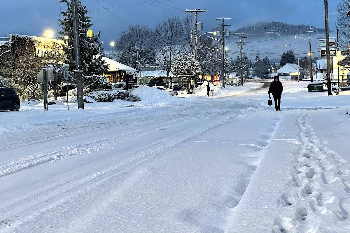
More snow and slippery conditions could be on the way for the Lower Mainland and Fraser Valley Friday afternoon and evening, according to the special weather statement Dec. 2 from Environment Canada.
However there will likely be “significantly” less snowfall accumulation than earlier this week.
The Dec. 2 statement is in effect for the Fraser Valley, Metro Vancouver, Howe Sound (near Bowen Island), Sunshine Coast – Gibsons to Earls Cove, Southern Gulf Islands from the afternoon and into the overnight hours.
Total snowfall accumulation will be two to five centimetres, according to the forecast, and higher amounts may be possible in local elevations.
Slippery conditions could result from snow with temperatures near freezing, and a risk of freezing rain. That could impact the evening commute.
It’s coming from a low pressure system on the south coast today.
“Snowfall accumulations will generally be light given precipitation rate, strength of the outflow winds and the humidity of the near surface atmospheric layer.”
The timing for the snow to start is likely to be during this afternoon’s commute and into the evening hours.
RELATED: Back to school Thursday for Fraser Valley
Do you have something to add to this story, or a news tip? Email:
jennifer.feinberg@theprogress.com
@CHWKjourno
Like us on Facebook and follow us on Twitter.

