A key highway that connects Yukon and northern British Columbia to the rest of the province is now threatened by the huge Donnie Creek wildfire as the blaze chews through woodlands south of Fort Nelson.
The Peace River Regional District has posted an evacuation alert for a section of the Alaska Highway as out-of-control flames creep within two kilometres.
If the 4,875-square-kilometre blaze cuts the highway, residents north of Fort Nelson could face a more than 1,700-kilometre detour via highways 37 and 16, if they need to travel south by main roads.
Little rain from recent storms reached the Donnie Creek blaze Tuesday, but downpours around Dawson Creek calmed the nearly 200-square-kilometre Kiskatinaw wildfire, which remains out of control and within a few kilometres of the community of Tumbler Ridge, which was evacuated six days ago.
The BC Wildfire Service reports more than 80 active wildfires across the province, with 37 ranked as out of control, including those in the northeast and another on Vancouver Island, east of Port Alberni.
The Island fire has charred just over two square kilometres of trees on steep hillside above the only highway linking Port Alberni, Tofino and Ucluelet to the rest of the region, and officials say safety concerns will keep Highway 4 closed until at least June 24.
A lengthy and challenging detour is being used to allow people and supplies to reach the stranded communities, but the narrow route is only meant to be used for essential travel.
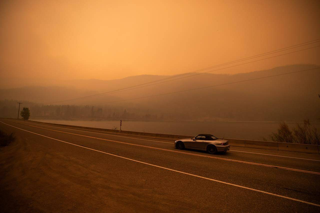
Environment Canada has posted air quality statements for northeastern B.C., in the Fort Nelson, Peace River and Prince George regions, advising that wildfire smoke will blanket those areas for at least the next day or two.
The Chief of the Doig River First Nation near Fort Nelson said the Donnie Creek fire has claimed a handful of trapline cabins and his members are working to protect others.
Chief Trevor Makadahay said Tuesday that his community is as ready as it can be to evacuate if winds push flames from the north.
Residents, especially elders, are staying indoors and using air purifiers to cope with the heavy smoke blanketing the area, he said.
READ ALSO: Storms forecast to bring rain, but also a risk of winds, lightning, as wildfires rage
READ ALSO: Secondary route punch-throughs not always possible in B.C. disasters: minister
