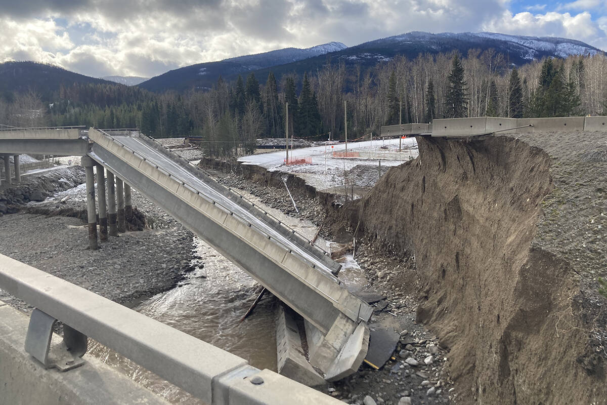
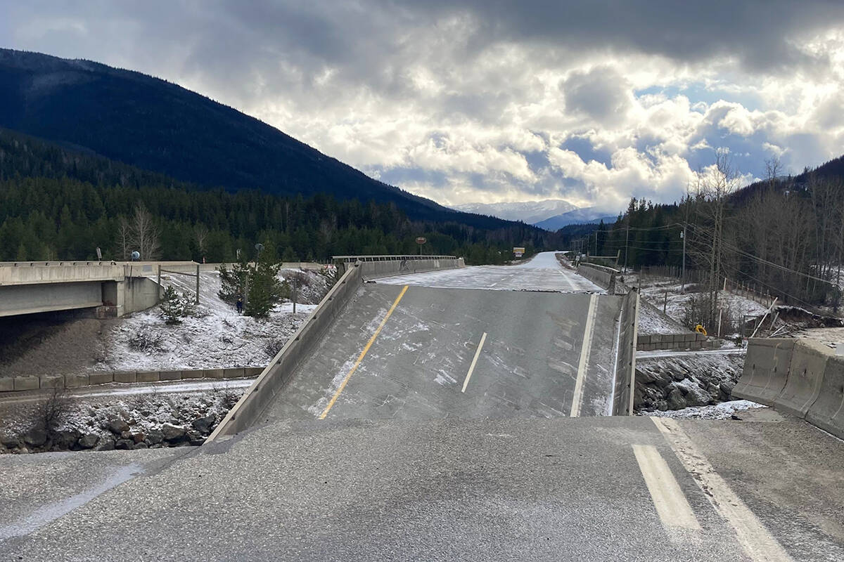
Photos of the damage along two highways have been released by the Ministry of Transportation.
They shared the images on Twitter, focusing on the area known as Juliet on the Coquihalla (Highway 5), at Exit 202, as well as an area of Highway 3 between Taylor Mill Road and Old Hedley Road.
This is the #Coquihalla #BCHwy5 at Juliet
Via @DriveBC – closed between #HopeBC and #Merrit due to mudslide at Exit 202 (11 km south of Great Bear Snowshed). Assessment in progress. Estimated time of opening not available. Detour not available. https://t.co/KGgN8ntK7f pic.twitter.com/8mpNvy6KcS— BC Transportation (@TranBC) November 17, 2021
Aerial views around #BCHwy3 showing the impacts of #BCstorm.
via @DriveBC – closed between Taylor Mill Rd and Old Hedley Rd for 27.9 km (2 km east of #PrincetonBC to 6 km west of #Hedley). Assessment continues. No estimated time of opening pic.twitter.com/ezFPtmoZ5V— BC Transportation (@TranBC) November 17, 2021
Both areas are still under assessment with no estimated time of re-opening. The images show a wide range of damage, from edges of the roads washed away, to areas that are completely gone.
One portion of the Juliet bridge has fallen into the waterway below it.
READ MORE: PHOTOS: Abbotsford from above after destructive flooding
@CHWKcommunity
jessica.peters@hopestandard.com
Like us on Facebook and follow us on Twitter.
Want to support local journalism during the pandemic? Make a donation here.
BC FloodBreaking NewsfloodingSevere weather


