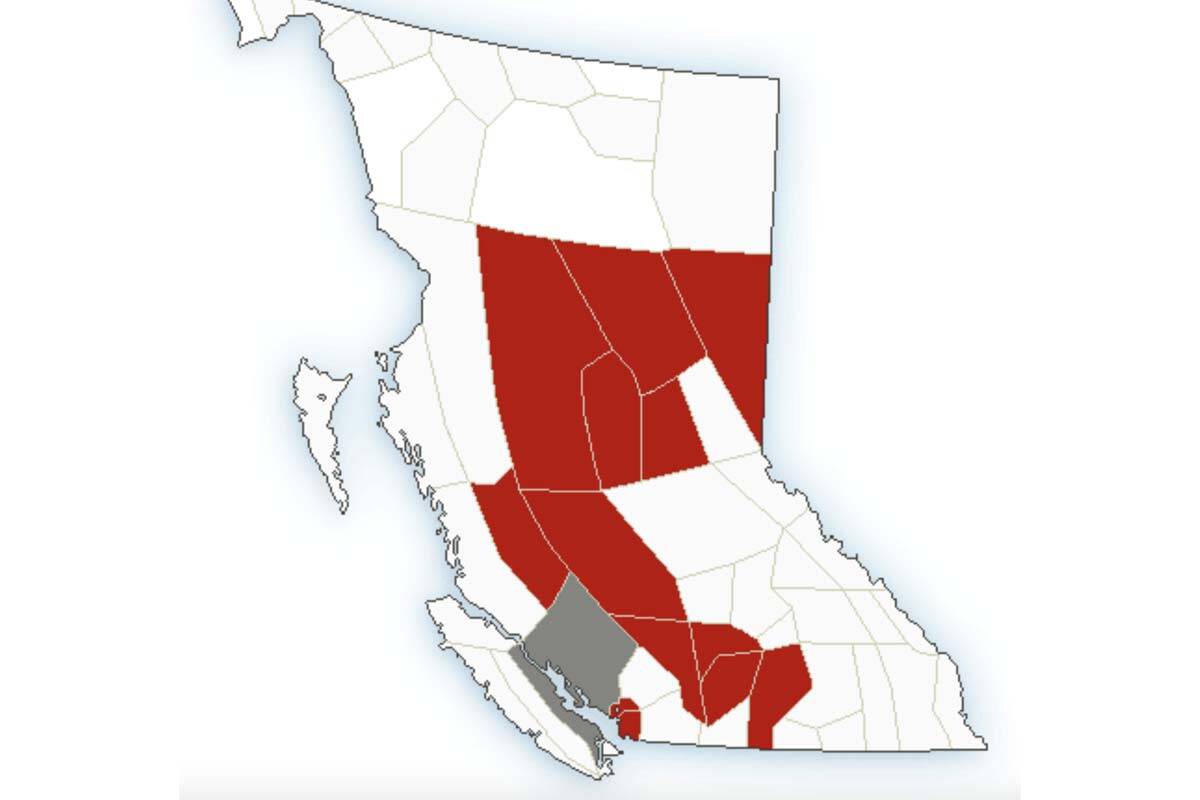
Many regions of B.C. are set to see their first real storm of the season this week, as Environment Canada warns of above-normal rainfall and wind.
The worst of the wet weather is forecast to hit Metro Vancouver, Howe Sound and the region around Bella Coola. In the former two, 50 to 70 millimetres of rain is expected Thursday (Oct. 27) throughout the day. Around Bella Coola, 20 mm of rain is forecast for the morning.
Heavy winds are expected to impact a broader swath of the province, with warnings issued for the Peace River region, Burkley Valley and the Lakes District, Chilcotin, East Vancouver Island, the Fraser Canyon, the Nicola region, the Okanagan Valley, Prince George, the South Thompson, the Stuart-Nechako region, the Sunshine Coast, and the Pine Pass along Highway 97.
Winds in all regions are expected to hit 60 km/h and gust up to 90 km/h, except in East Vancouver Island and the Georgia Straight where they will only gust up to 80 km/h. Things are forecast to settle down by Thursday evening.
Environment Canada says high winds can toss loose objects and cause tree branches to break.
Earlier in the week, BC Hydro issued a statement warning British Columbians that this year’s storm season could be particularly damaging as drought-weakened trees are more likely to snap or topple and land on power lines.
“Trees that have been impacted by the drought will not show immediate visible effects. However, drought conditions have impacted the small structural roots that provide trees with stability, making them more susceptible to wind of any speed,” BC Hydro said.
Up-to-date weather warnings can be found at weather.gc.ca/warnings. Power outages can be found at bchydro.com/outages.
READ ALSO: ‘Substantial damage’ more likely this storm season due to drought-weakened trees: BC Hydro

