UPDATE: 6:30 p.m.
The severe thunderstorm watch has ended for the Okanagan and Shuswap region.
A northwest wind of 30 km/h gusting to 50 is forecast this evening.
UPDATE:
Environment Canada is now forecasting “dangerous thunderstorms” that could produce heavy rain.
UPDATE 7:25 a.m.
The heat warning has come to an end for the Okanagan, but a special weather statement for the risk of wind and dry lightning remains in place.
Four major Okanagan highways – Coquihalla, Okanagan Connector, Highway 3, and the Trans-Canada Highway from Eagle to Rogers Pass also have the special weather statement in effect.
A special air quality statement also remains in place because of smoke in the area.
Original
Federal meteorologists are forecasting strong and gusty winds, as well as risk of dry lightning, across B.C.’s southern Interior – bringing with it new fire starts, breaking tree branches and challenging boating conditions.
“There has been a widespread shift to westerly or northwesterly winds of 20 km/h gusting 40 throughout the Central Interior as a dry cold front passed through last night,” Environment Canada said in a bulletin Friday morning (Aug. 18).
“Winds will remain gusty until late this afternoon.”
As B.C. faces intense drought, many trees will be susceptible to winds.
In the southern Interior, where many wildfires became highly visible overnight – sparking evacuation orders impacting thousands – the national weather agency said that the winds seen in the last 24 hours will shift from southwesterly to northwesterly, with a small dip in strength.
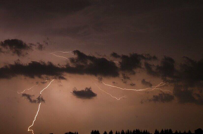
“Instability near and behind the cold front may lead to the development of thunderstorms today,” the bulletin reads, causing severe localized winds that reach up to or above 70 kilometres per hour, as well as dry lightning, which is lightning with little or no rain.
This latest weather scenario comes amid extended heat in the region, surpassing 30-35 C in many communities.
More to come.