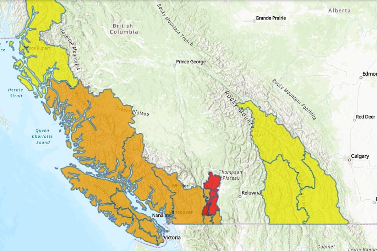
Heavy rainfall expected Tuesday evening and through Wednesday is bringing warmer temperatures and a rising freezing levels that will add snow melt to the rainfall, with flood risk rising across much of southern B.C.
The forecast is similar to the previous wave of precipitation over the weekend, but the effects of three storms in quick succession add to the risk, David Campbell of B.C.’s River Forecast Centre said Tuesday.
“We could see the deterioration of conditions on rivers that we’ve seen already, or the creation of new flooding issues throughout the South Coast region,” Campbell said at an emergency management briefing Nov. 30. “And that would really include everywhere from the Lower Mainland, Fraser Valley, the Fraser Canyon, as well as Howe Sound, Sea to Sky country and up into Whistler and Pemberton.”
The Fraser Valley is bracing for increased river levels, and the National Weather Service in the U.S. has issued a flood watch for Whatcom County, including the Nooksack River.
“At the moment we’ve dropped down about four feet or so from conditions that were experience over the weekend,” Campbell said. “So we’ve got a little bit of room, but we’re expecting with this rainfall to push that back up as we go into tomorrow. So there is risk late tomorrow of seeing another overtopping event in the Nooksack River.”
Combined with snow melt, the rainfall is also expected to affect hard-hit B.C. Interior communities of Merritt, Princeton and the Lower Nicola River.
RELATED: Flooding could set Fraser Valley crop production back years
RELATED: Flood waters move into Abbotsford, Highway 1 still closed
@tomfletcherbc
tfletcher@blackpress.ca
Like us on Facebook and follow us on Twitter.

