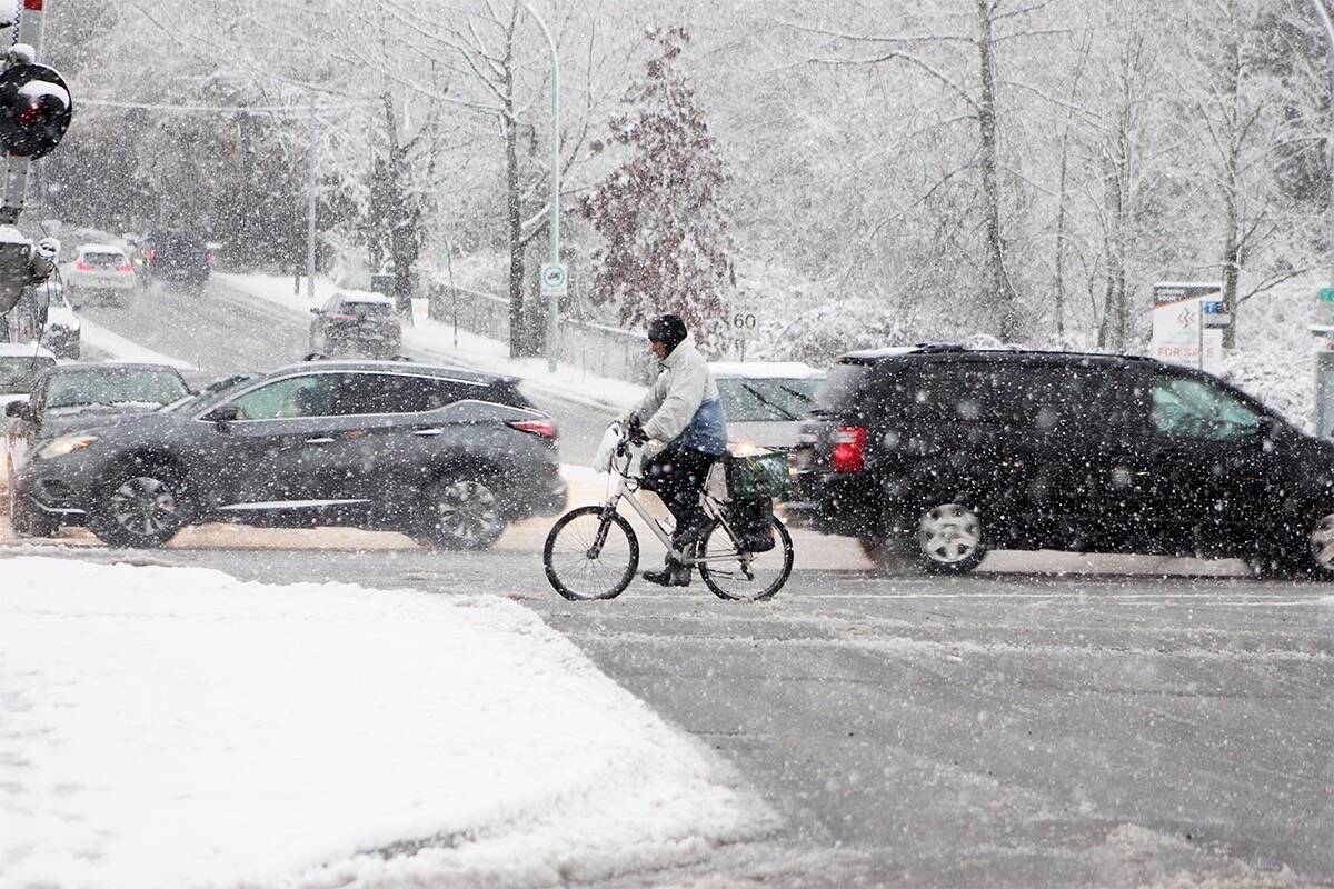
Snow is in the forecast for parts of the Lower Mainland and Vancouver Island over the weekend.
Environment Canada put out special weather statements for the regions – specifically higher terrain around inland and east Vancouver Island and Metro Vancouver– Friday morning (Dec. 8).
READ MORE: ‘Potent and impactful’ rain, wind, snow and high tides converging on B.C.
The forecast says about two centimetres of snow is possible in inland areas near the coast of Vancouver Island, with up to 10 centimetres possible over higher terrain. Port Alberni could see five centimetres.
Rain is expected to begin Friday night or early Saturday morning and then become mixed with snow. Environment Canada says there is generally no significant accumulation expected.
In Metro Vancouver, a frontal system is expected to roll in Saturday morning, beginning with rain and then mixing with snow in the afternoon. Mostly wet snow is expected, but in areas of higher elevation, such as the North Shore Coquitlam and Burnaby Mountain could see between two to four centimetres.
Strong winds on the Island and the Lower Mainland are expected Saturday evening, and the snow will transition back to rain.
From Squamish to Whistler, between five and 10 centimetres are expected Saturday. Environment Canada is warning of winter driving conditions.
The snow is expected to turn back to rain in Squamish late in the evening, but snow will continue in Whistler.
READ MORE: El Nino-fuelled warm start to winter could change: Weather Network
