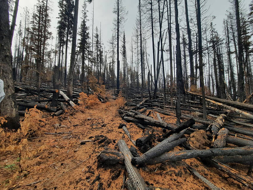
While the Cariboo’s wildfire season this past summer was “busier than normal” according to local officials, it was nowhere near as destructive as 2017 in terms of total hectares burned in the region.
As of last week in the Cariboo Fire Centre, there had been 263 fires, which have burned 129,591 hectares in the region. The number of fires was “well above average,” according to Fire Information Officer Madison Smith, who said the average number of wildfires in the Cariboo Fire Centre is 164.
The total hectares burned this past summer is also above the 10-year average of 95,480 hectares. However, in 2017 – a summer that saw more than 60,000 British Columbians evacuated from their homes due to the threat of wildfire – 871,005 hectares in the Cariboo burned, more than six times the area that burned this summer.
Smith noted that while this summer’s fires were not as widespread throughout the entire region, there were some similarities between 2017 and 2021.
“The Build-Up Index (BUI) shows the total amount of fuel available for combustion, and on June 30, 2017, the BUI in the Cariboo was above 90, reaching up to 200 in the Chilcotin indicating that the fuels were dry enough to sustain a persistent, deep-burning wildfire,” Smith explained. “On June 30, 2021, the BUI throughout the Cariboo was above 90 in most areas, reaching 160 in some.”
Smith also noted that the danger rating at the end of June 2017 was high and extreme – the same as it was at the end of June 2021.
READ MORE: Area restrictions rescinded for Succour Lake and Flat Lake wildfires
This summer’s fire season in the Cariboo started abruptly following a record-breaking heatwave at the end of June, which saw temperatures in the Cariboo reach 42 degrees at its peak.
An aggressive dry lightning storm that passed through the South Cariboo on the evening of June 30 sparked upwards of 30 new fires in the 100 Mile Zone, including blazes that would quickly become fires of note.
One of those fires was south of Deka Lake, where residents were ordered by the Cariboo Regional District to evacuate the following morning as the blaze grew and spread. Over the next several days the Deka Lake fire grew to 650 hectares. Wildfire crews were able to get it under control, allowing residents back into their homes on July 7.
The Canim Lake South fire was another among those started June 30, and would eventually grow to more than 3,000 hectares and force the evacuation of hundreds of residents and businesses on the south side of the lake. Those properties remained on evacuation order from July 14 to 24.
Several other fires of concern started during the lightning storm on the afternoon of June 30, including one just outside of Lone Butte, another in the upper Ranchettes, one along Watch Lake Road and another a cluster of fires at Young Lake, which would merge into one fire and grow to 7,453 hectares.
The biggest wildfire to impact the South Cariboo started just over a week later on July 8, five kilometres west of Flat Lake. As the Flat Lake fire grew, evacuation orders were put in place for hundreds of properties stretching east of the fire towards North Green Lake, including 93 Mile and parts of Lone Butte.
The District of 100 Mile House was also put on alert due to the Flat Lake fire – which grew to 73,862 hectares before it was brought under control in late August. Long-term care residents from the 100 Mile District General Hospital were evacuated twice over the summer due to the wildfire threat, and alerts were also in place for residents of 103 and 105 Mile west and 108 Mile Ranch.
melissa,smalley@100milefreepress.netLike us on Facebook and follow us on Twitter

