UPDATE: 5:30 P.M.
The province has issued an evacuation order in the Stikine region.
Issued just before 5:30 p.m. Saturday, the Ministry of Emergency Management said the order is for a specific area of the unincorporated Stikine region due to the Little Blue River Fire. It’s B.C.’s only unincorporated region, so the province is responsible for implementing evacuation orders for the region
People in the following area must evacuate immediately: the area extending north from Wheeler Lake to Blue River Bridge, south of Wheeler Lake to the Beaver Dam Rest Area, west of Highway 37 and to the east of Highway 37 (to two kilometres east of the confluence of the Blue and Dease rivers).
The province said no primary residences have been identified within the order area.
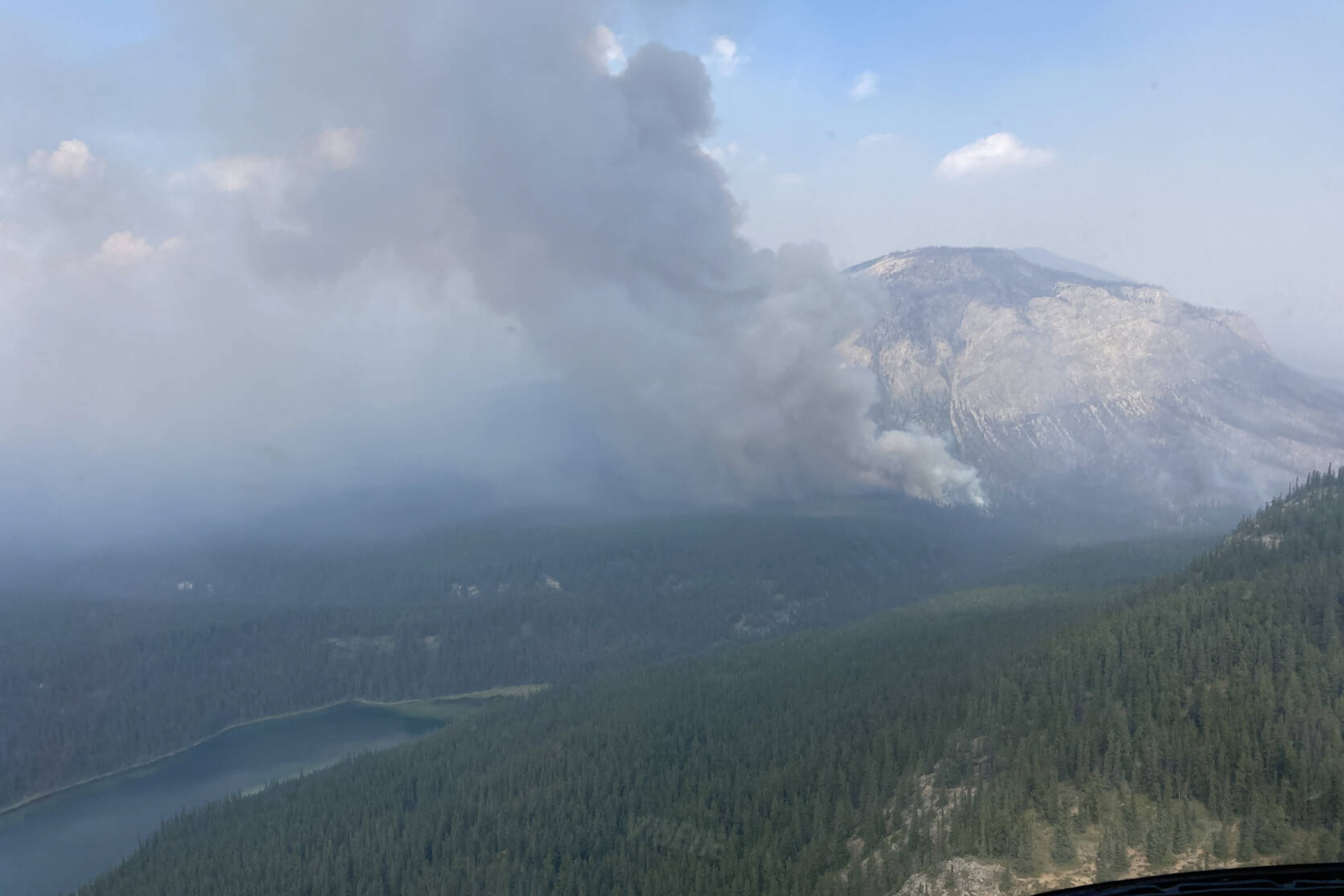
The fire is still estimated to be 36,501.8 hectares, and it’s anticipated to grow due to dry conditions and strong winds.
Highway 37 is single-lane alternating traffic between Beaver Dam Rest Area and Border Rest Area for 70.7 kilometre (24 kilometre north of Good Hope Lake to 1 kilometre south of British Columbia and Yukon Border).
DriveBC says there is a pilot vehicle starting from Beaver Dam Pullout to Alaska Highway Junction, but the highway is subject to closure at short notice.
The next highway update is expected at 9 p.m.
ORIGINAL:
A wildfire in northern B.C. has closed a section of Highway 37 near the Yukon border.
BC Wildfire Service said the province would proactively be shutting down Highway 37 Friday night (Aug. 25) as an increase in temperatures and shifting winds were expected to roll in. The fire was predicted to reach the highway.
DriveBC said the next update on the highway is expected at 3 p.m. Saturday.
BCWS said the Little Blue River wildfire is located west of Highway 37, approximately 40 kilometres north of Good Hope Lake and 40 kilometres south of the Yukon border. It is 36,501.8 hectares as of Aug. 25, and it was first discovered on July 26.
The wildfire is burning out of control and lightning is the suspected cause.
@laurenpcollins1
lauren.collins@blackpress.ca
Like us on Facebook and follow us on Twitter.
