bcwildfire

BC Wildfire Service firefighter uses a drip torch to light dried grass being removed from Hillside Park in Williams Lake on March 19, 2024 as part of some prescribed burns to reduce fire risk in the community. (Ruth Lloyd/Black Press Files)

The healing power of fire, to survive future B.C. wildfires

Indigenous-led practice that brings fire back to the land in a good way

  • Jun 5, 2024


As the third anniversary of the Lytton Creek wildfire of June 30, 2021, approaches, B.C.’s Auditor General Michael Pickup Wednesday announced that his office will be investigating the provincial’s role in the recovery efforts. (@guyatsfu/Twitter)

B.C.’s auditor-general to investigate Lytton’s stalled recovery from 2021 fire

Michael Pickup announced the investigation Wednesday May 1 as three-year-anniversary approaches


The Boothroyd Indian Band, with the assistance of the BC Wildfire Service (BWS), will be conducting a cultural burn. (Boothroyd Indian Band)

Boothroyd Indian Band conducting cultural burn in the Fraser Zone on May 2

The cultural burn will take place with the assistance of the BC Wildfire Service


An out-of-control wildfire in northeastern British Columbia has triggered the province’s first evacuation of this year’s fire season. A wildfire burns in the Peace River Regional District of British Columbia in a May 5, 2023, handout photo. THE CANADIAN PRESS/HO-BC Wildfire Service

Chetwynd evacuation order lifted even as ‘extreme drought’ feeds wildfire risk

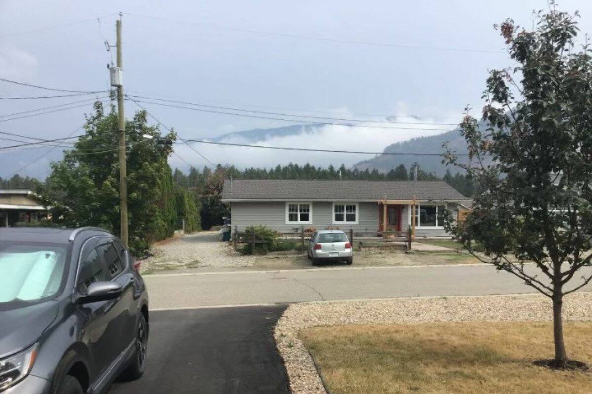
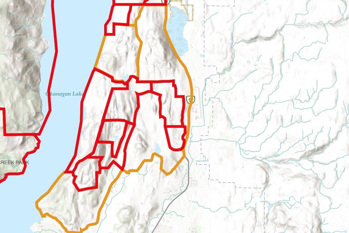
Order affecting 67 homes downgraded Thursday, residents to remain ready to leave on short notice

An out-of-control wildfire in northeastern British Columbia has triggered the province’s first evacuation of this year’s fire season. A wildfire burns in the Peace River Regional District of British Columbia in a May 5, 2023, handout photo. THE CANADIAN PRESS/HO-BC Wildfire Service
Nine-year-old Carter Vigh, wearing a red sweatshirt, is pictured with his brother Daxton (left), sister Cadence, father James and mother Amber. Carter died of asthma exacerbated by wildfire smoke in July 2023. THE CANADIAN PRESS/HO-Amber Vigh

B.C. mom finds purpose in air quality awareness efforts in wake of tragedy

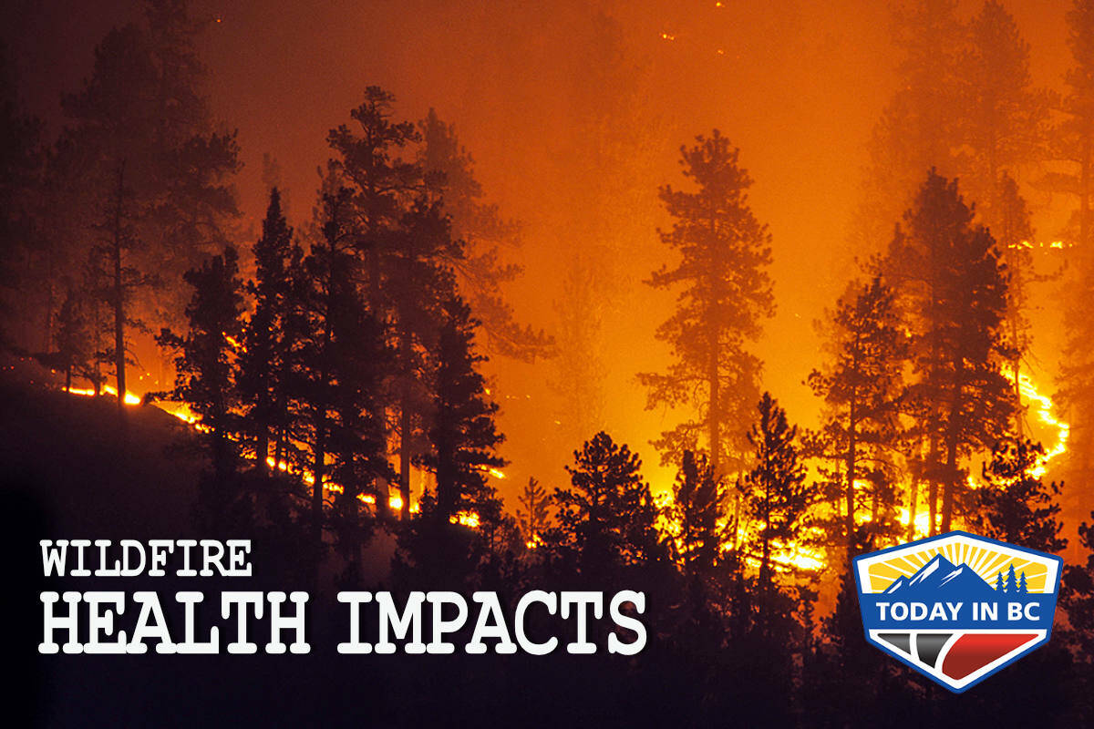
Amber Vigh distributes air quality monitors after 9-year-old Carter’s asthma death during wildfires

Nine-year-old Carter Vigh, wearing a red sweatshirt, is pictured with his brother Daxton (left), sister Cadence, father James and mother Amber. Carter died of asthma exacerbated by wildfire smoke in July 2023. THE CANADIAN PRESS/HO-Amber Vigh
Trees burned by the Bush Creek East Wildfire are seen above Little Shuswap Lake in Squilax, B.C., Monday, Sept. 11, 2023. The BC Wildfire Service has announced a five-month open fire ban covering much of the province’s Interior, as fire season gets off to an early start. THE CANADIAN PRESS/Darryl Dyck

B.C. wildfire season arrives with growing bans and 115 fires already burning

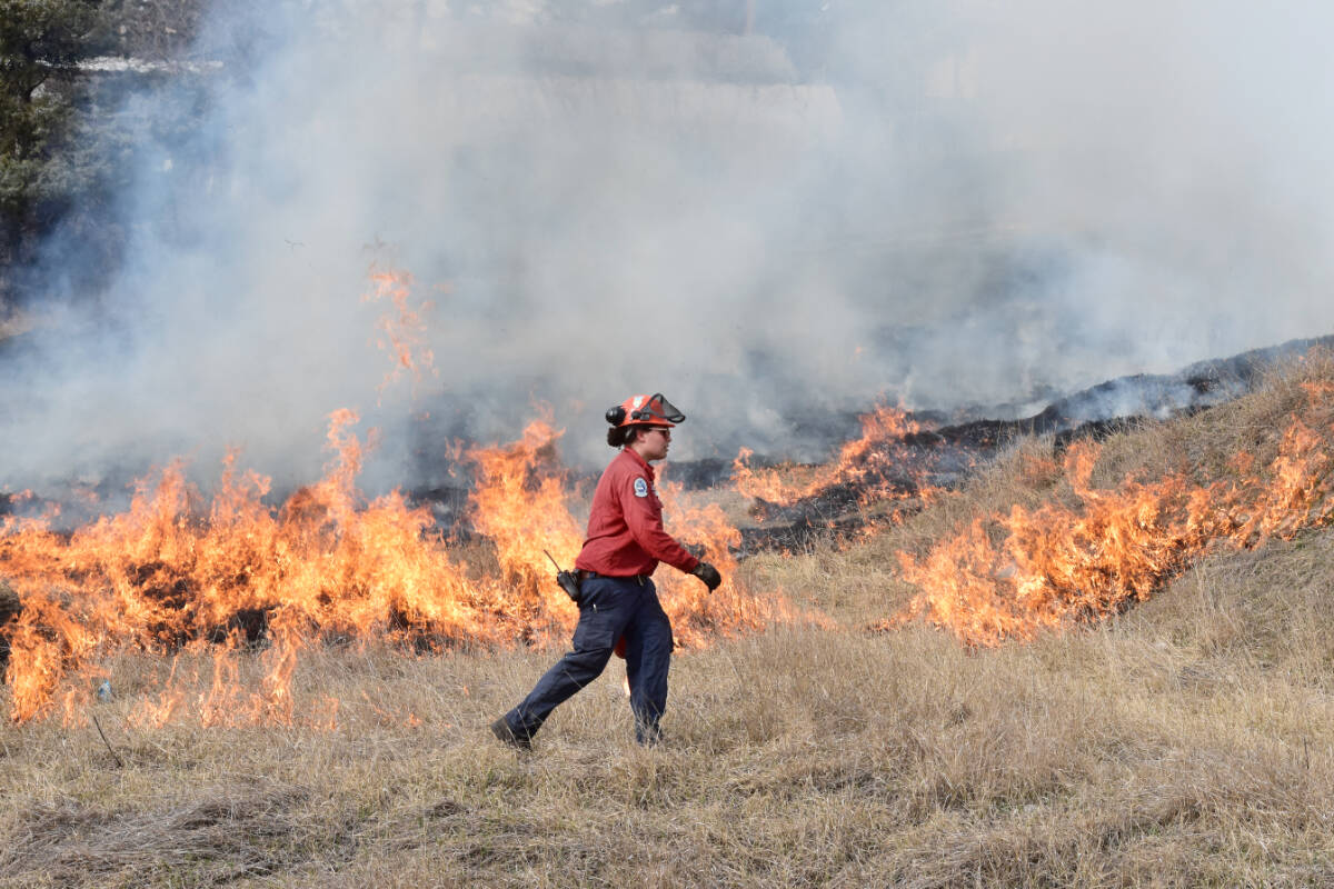
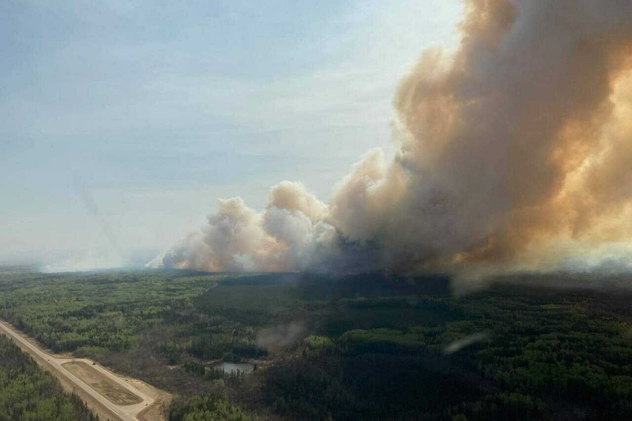
It’s still April and B.C.’s wildfire season already off to a hot start, especially in the northeast

Trees burned by the Bush Creek East Wildfire are seen above Little Shuswap Lake in Squilax, B.C., Monday, Sept. 11, 2023. The BC Wildfire Service has announced a five-month open fire ban covering much of the province’s Interior, as fire season gets off to an early start. THE CANADIAN PRESS/Darryl Dyck
The BC Wildfire Service is responding to multiple wildfires within the Cariboo Fire Centre Saturday, April 20. The largest fire is the Burgess Creek Wildfire (C20117), located 45 kilometres south of Quesnel and is approximately 1,600 hectares in size. (BC Wildfire Service photo)

UPDATE: Wildfire between Williams Lake, Quesnel grows to 1,600 hectares

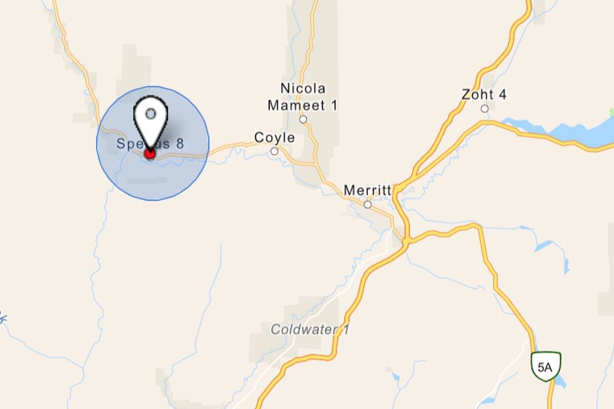
An evacuation alert was issued Sunday night for six parcels
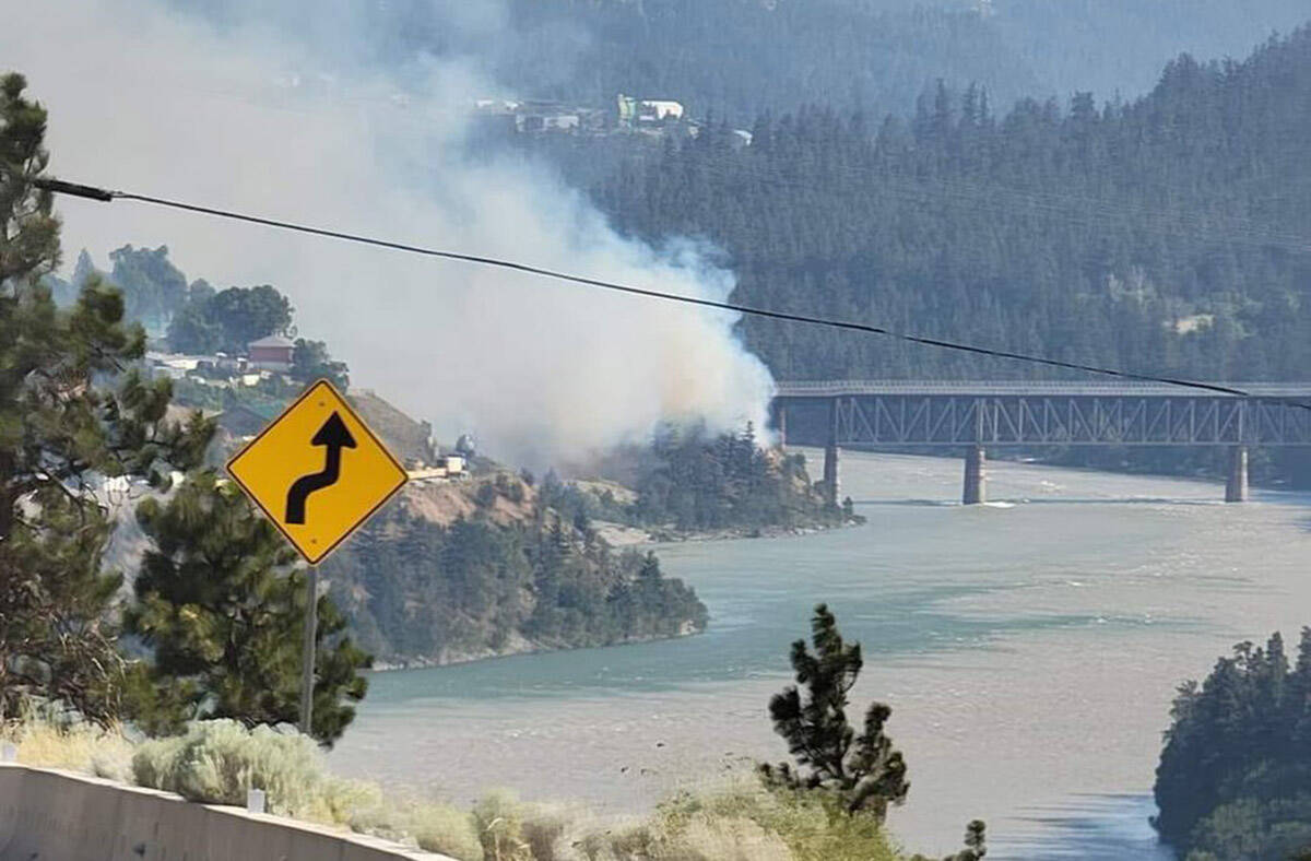
The BC Wildfire Service is responding to multiple wildfires within the Cariboo Fire Centre Saturday, April 20. The largest fire is the Burgess Creek Wildfire (C20117), located 45 kilometres south of Quesnel and is approximately 1,600 hectares in size. (BC Wildfire Service photo)
A small wildfire was discovered west of Merritt on Tuesday, Apr. 2. (BC Wildfire Map)
Wildfire fighting and forest management decision are potentially being hampered by inaccurate government data that misrepresents forest fuel loads in British Columbia’s Interior, a new study says. The White Rock Lake wildfire burns west of Vernon, B.C., on Thursday, Aug. 12, 2021. THE CANADIAN PRESS/Darryl Dyck

Inaccurate data on forest fuels may stoke B.C. wildfires, study finds

Paper says mismatches make it difficult to predict fire behaviour, identify high-risk areas

Wildfire fighting and forest management decision are potentially being hampered by inaccurate government data that misrepresents forest fuel loads in British Columbia’s Interior, a new study says. The White Rock Lake wildfire burns west of Vernon, B.C., on Thursday, Aug. 12, 2021. THE CANADIAN PRESS/Darryl Dyck
Three speakers delve into the physical and mental health consequences of wildfires, emphasizing the challenges faced by communities, healthcare workers and vulnerable populations. (File photo)

PODCAST: The far-reaching health consequences of B.C.’s wildfires

TODAY IN B.C.: UBCM session offers insights into the challenges posed

Three speakers delve into the physical and mental health consequences of wildfires, emphasizing the challenges faced by communities, healthcare workers and vulnerable populations. (File photo)
A BC Wildfire Service firefighter working on the McDougall Creek Fire in West Kelowna. (BCWS photo)

Credit union collaboration sparks B.C. wildfire relief

Interior and Gulf & Fraser Credit Unions launch recovery campaign

A BC Wildfire Service firefighter working on the McDougall Creek Fire in West Kelowna. (BCWS photo)
A young mule deer buck walks across a lawn in 100 Mile House. In B.C.’s Southern Interior, poop samples taken from mule deer show their stress levels increased during wildfires. (Patrick Davies/100 Mile Free Press)

B.C. mule deer stressed by wildfire, but still much to learn about impacts

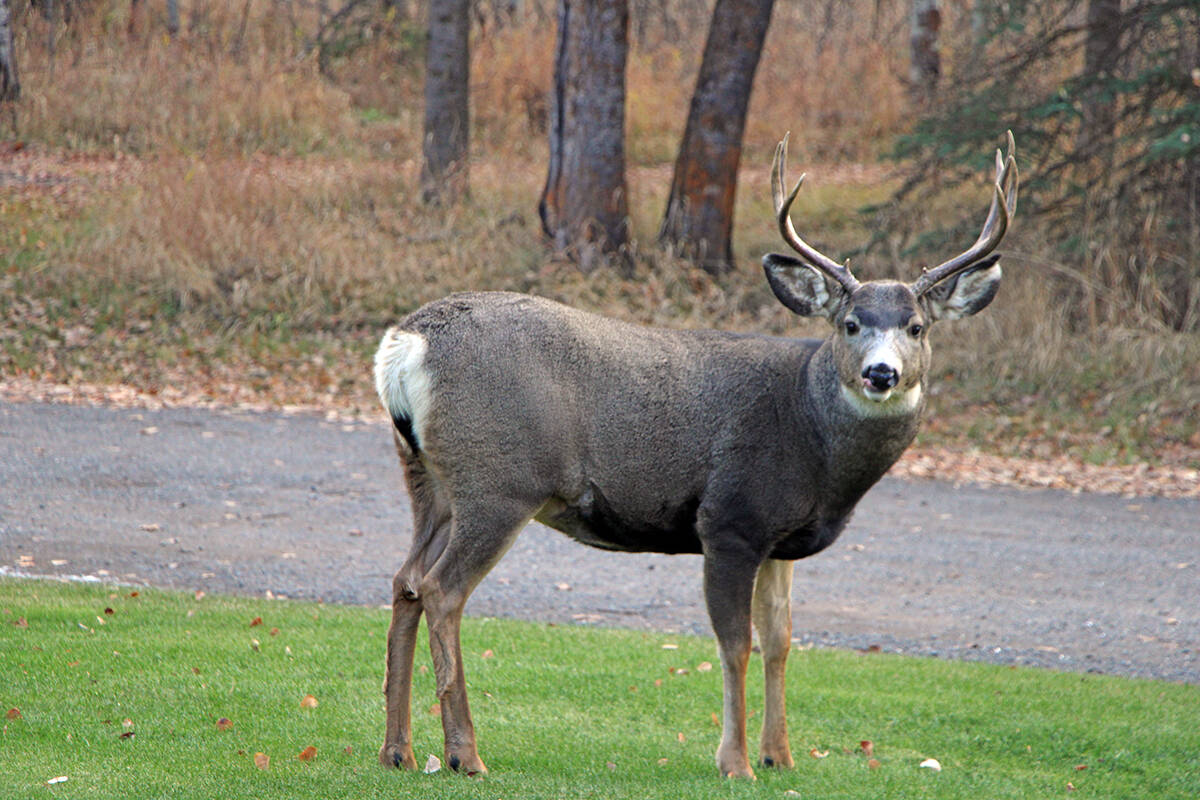
Poop samples reveal elevated levels of cortisol

A young mule deer buck walks across a lawn in 100 Mile House. In B.C.’s Southern Interior, poop samples taken from mule deer show their stress levels increased during wildfires. (Patrick Davies/100 Mile Free Press)
Trees burned by the Bush Creek East Wildfire surround two houses that survived the fire and the remains of another that burned, in Squilax, B.C., Monday, Sept. 11, 2023. The triple threats of wildfires, opioids and housing needs facing British Columbia are the focus of a weeklong gathering of elected municipal and provincial leaders in Vancouver at the annual Union of B.C. Municipalities convention.THE CANADIAN PRESS/Darryl Dyck

Wildfires, opioids, homes on agenda at gathering of B.C.’s local leaders

Union of B.C. Municipalities convention begins Monday

Trees burned by the Bush Creek East Wildfire surround two houses that survived the fire and the remains of another that burned, in Squilax, B.C., Monday, Sept. 11, 2023. The triple threats of wildfires, opioids and housing needs facing British Columbia are the focus of a weeklong gathering of elected municipal and provincial leaders in Vancouver at the annual Union of B.C. Municipalities convention.THE CANADIAN PRESS/Darryl Dyck
The McDougall Creek wildfire ripped through the Bear Creek area of West Kelowna. There is very little left for residents to salvage. (Brittany Webster/Capital News)

Resources, warnings accompany people home in aftermath of B.C. wildfires

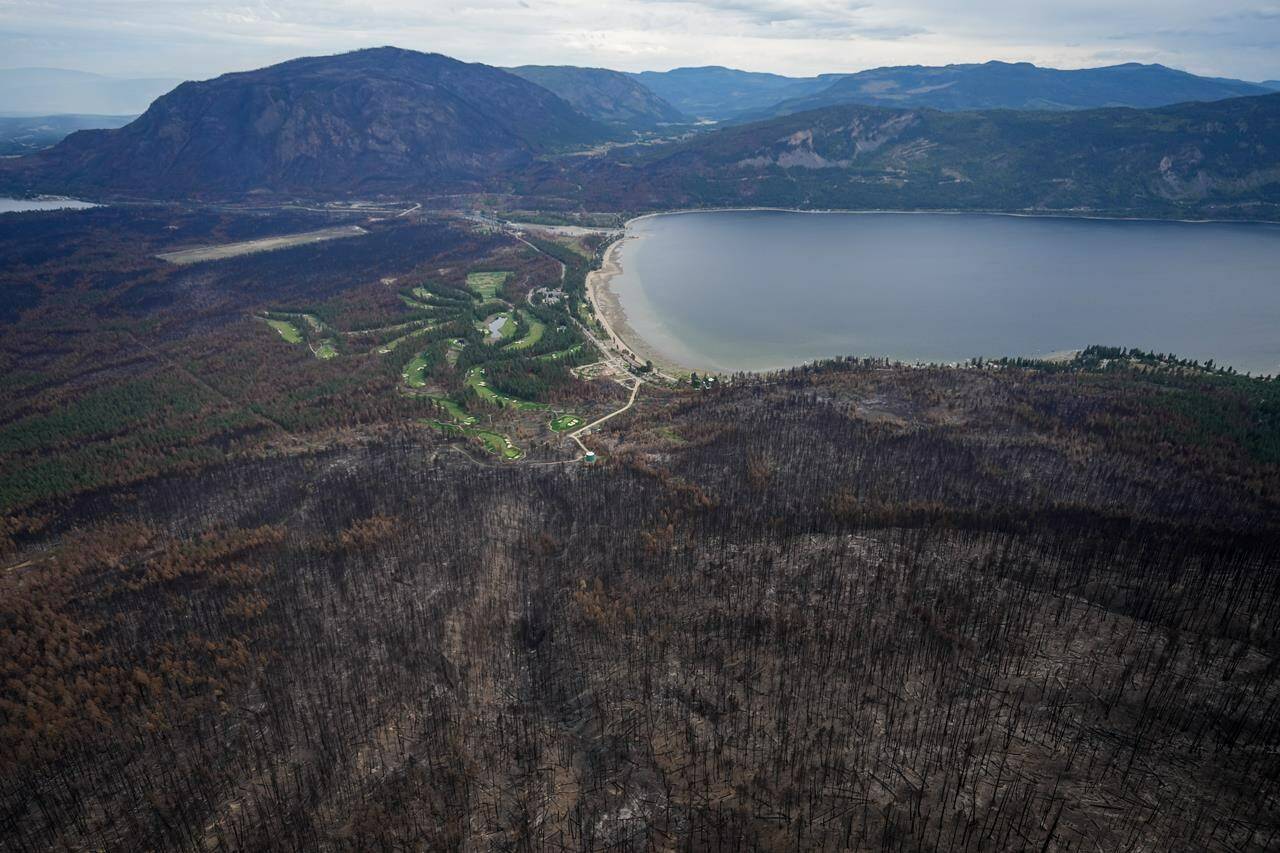
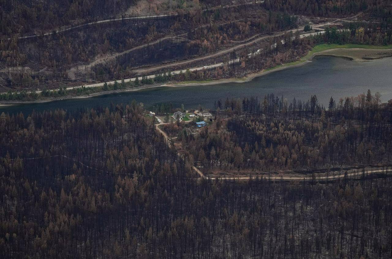
Officials working to prepare and protect those returning after West Kelowna wildfire

The McDougall Creek wildfire ripped through the Bear Creek area of West Kelowna. There is very little left for residents to salvage. (Brittany Webster/Capital News)
An photo of the blockade on Highway 1, from Aug.23. (Facebook)

North Shuswap on edge after alleged incident on Highway 1 amid wildfire

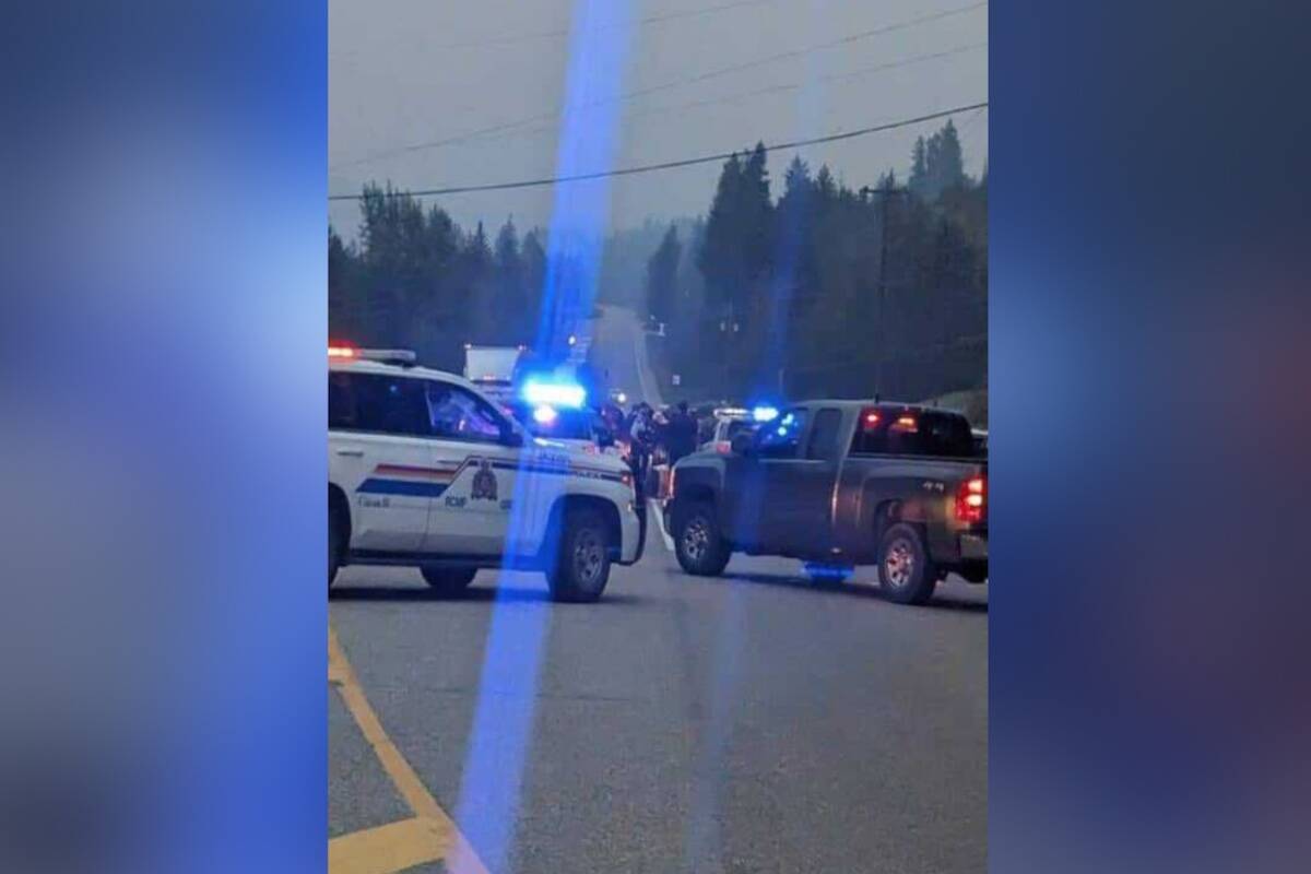
A reported permitted truck was set to bring supplies into the wildfire zone

An photo of the blockade on Highway 1, from Aug.23. (Facebook)
Fire crews on site at the St. Mary’s River wildfire near Cranbrook. Photo courtesy BC Wildfire Service.

Kamloops RCMP recover $10K worth of firefighting equipment, arrest youth

A pellet rifle, the stolen medic bag and automatic external defibrillator were recovered

  • Aug 23, 2023
Fire crews on site at the St. Mary’s River wildfire near Cranbrook. Photo courtesy BC Wildfire Service.
The Kendry Creek wildfire, looking east from Phillips, up by Overlander golf course. (Jennifer Smith/Morning Star)

UPDATE: ‘good progress’ made on 1.4 hectare wildfire near Armstrong

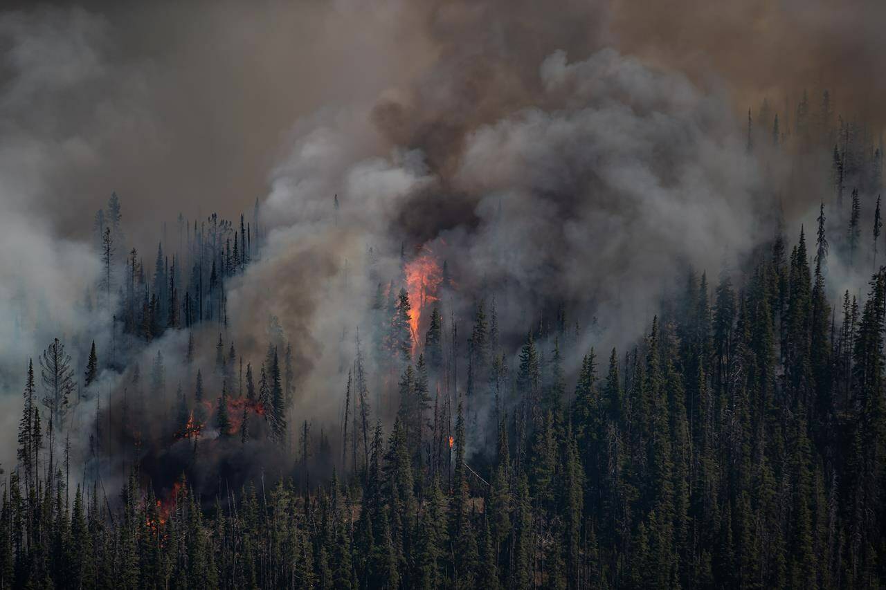
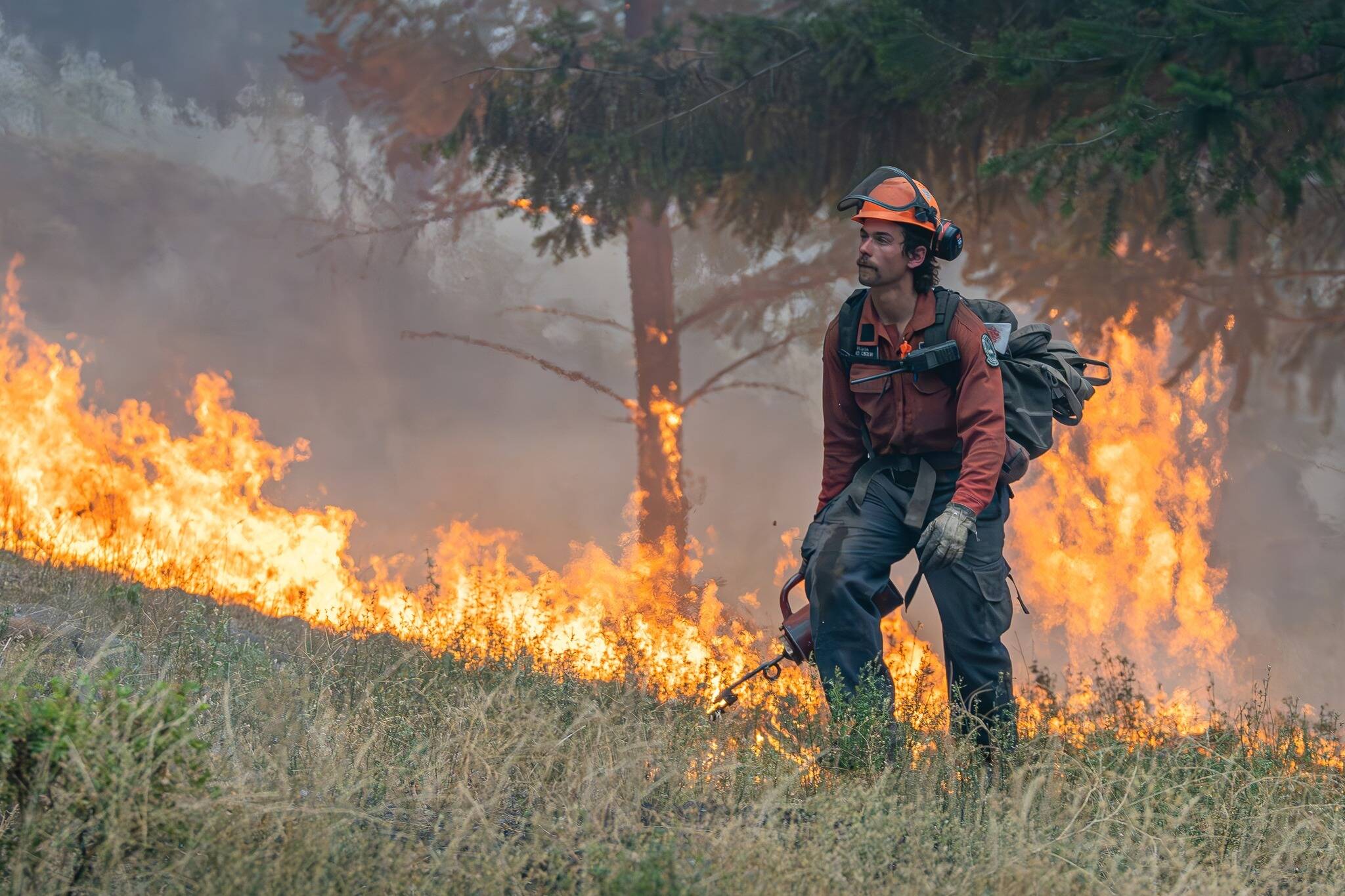
The fire was reported late Monday night and was caused by lightning

The Kendry Creek wildfire, looking east from Phillips, up by Overlander golf course. (Jennifer Smith/Morning Star)
A pedestrian walks along Yale Road at Alexander Avenue in Chilliwack on Sunday, Aug. 20, 2023. Environment Canada’s air quality health index value for the Eastern Fraser Valley was 10+ or ‘very high risk’ that day due to smoke from nearby wildfires. (Jenna Hauck/ Chilliwack Progress)

Eastern Fraser Valley’s air quality health index at ‘very high risk’

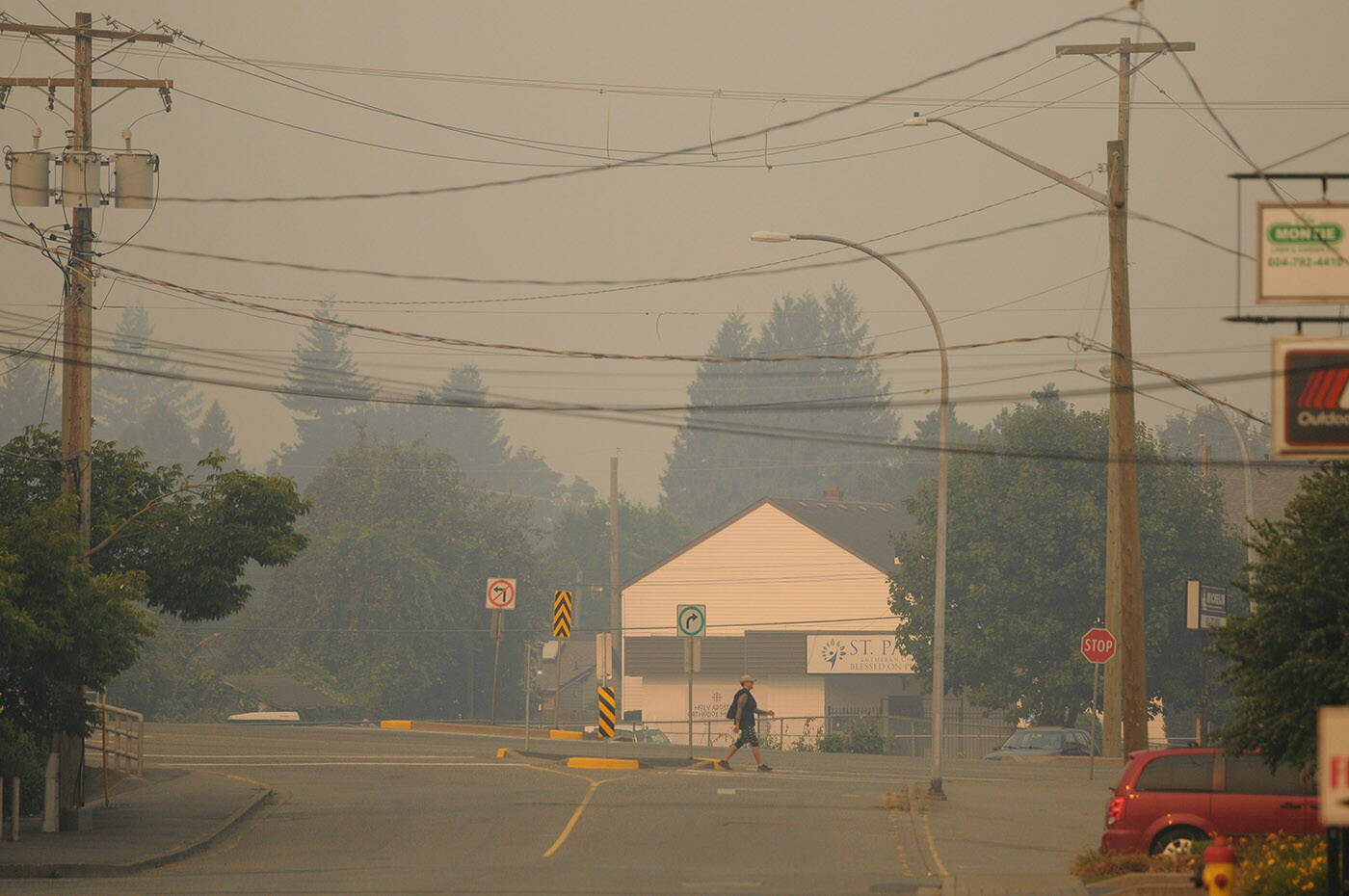
Air quality advisory issued for Lower Mainland and Fraser Valley due to wildfire smoke

A pedestrian walks along Yale Road at Alexander Avenue in Chilliwack on Sunday, Aug. 20, 2023. Environment Canada’s air quality health index value for the Eastern Fraser Valley was 10+ or ‘very high risk’ that day due to smoke from nearby wildfires. (Jenna Hauck/ Chilliwack Progress)
A plane buckets water on Lake Country Wildfire on Aug. 18. (Jordy Cunningham/Capital News)
Lake Country Wildfire Aug. 18. (Jordy Cunningham/Capital News)

Lake Country blaze remains at 174 hectares as drones challenge fire crews

All evacuation alerts and orders remain the same
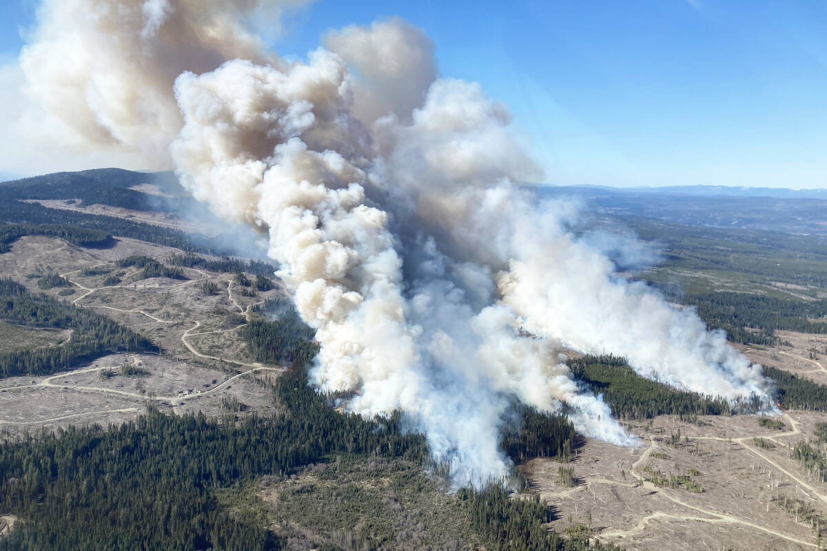
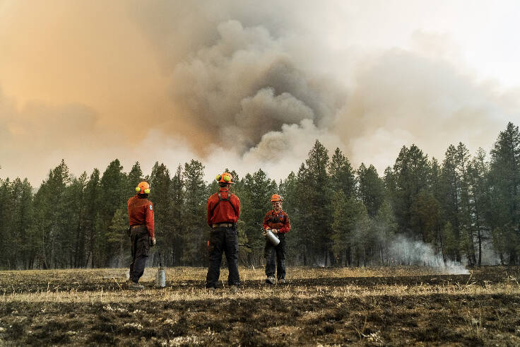
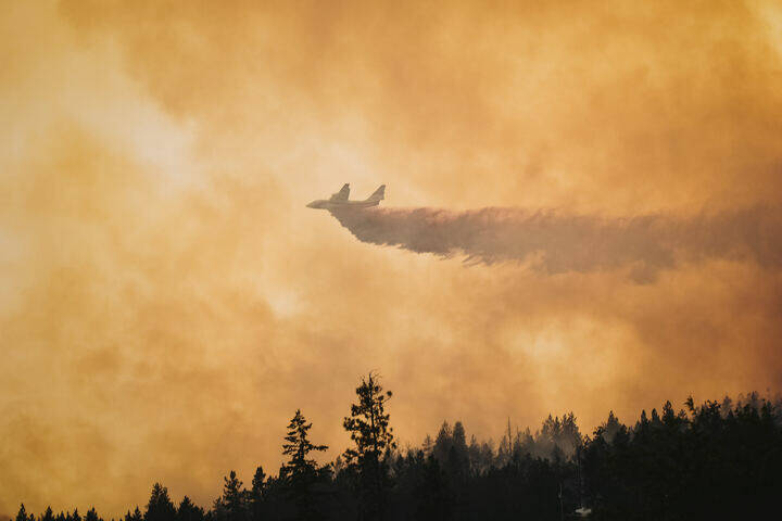
A plane buckets water on Lake Country Wildfire on Aug. 18. (Jordy Cunningham/Capital News)
Lake Country Wildfire Aug. 18. (Jordy Cunningham/Capital News)
Regional District of the Central Okanagan evacuation map. (CORD)