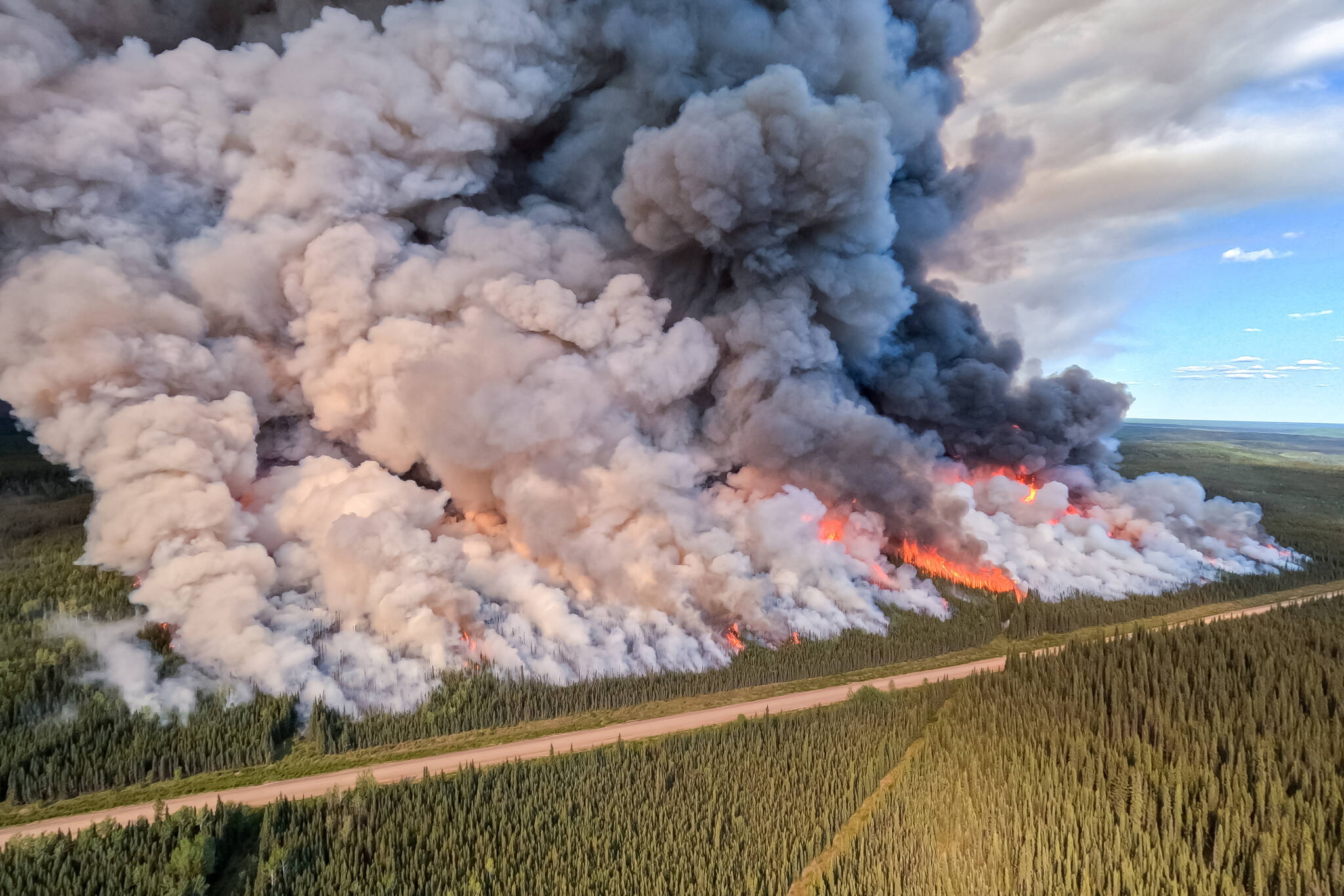
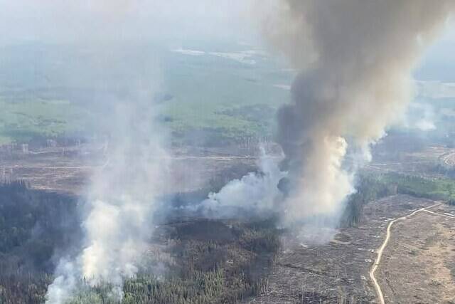
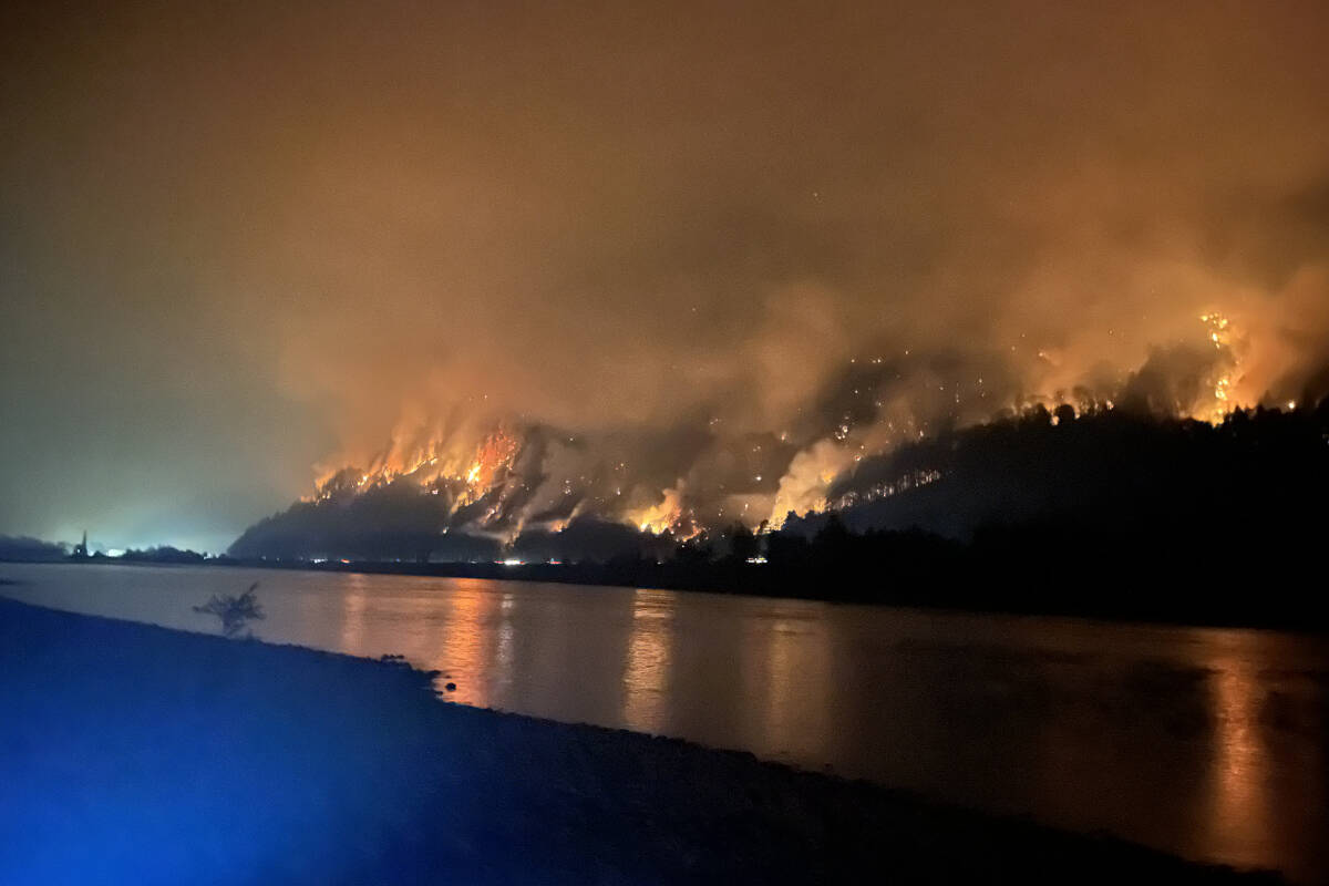
Fire in Northeastern corner of the province now estimated at more than 5,343 square kilometres
Evacuation alert issued for section of Alaska Highway as flames creep within two kilometres
5 wildfires of note are among more than 80 blazes throughout B.C.
B.C. Premier Eby faces criticism over not opening Horne Lake route as fire cuts off communities
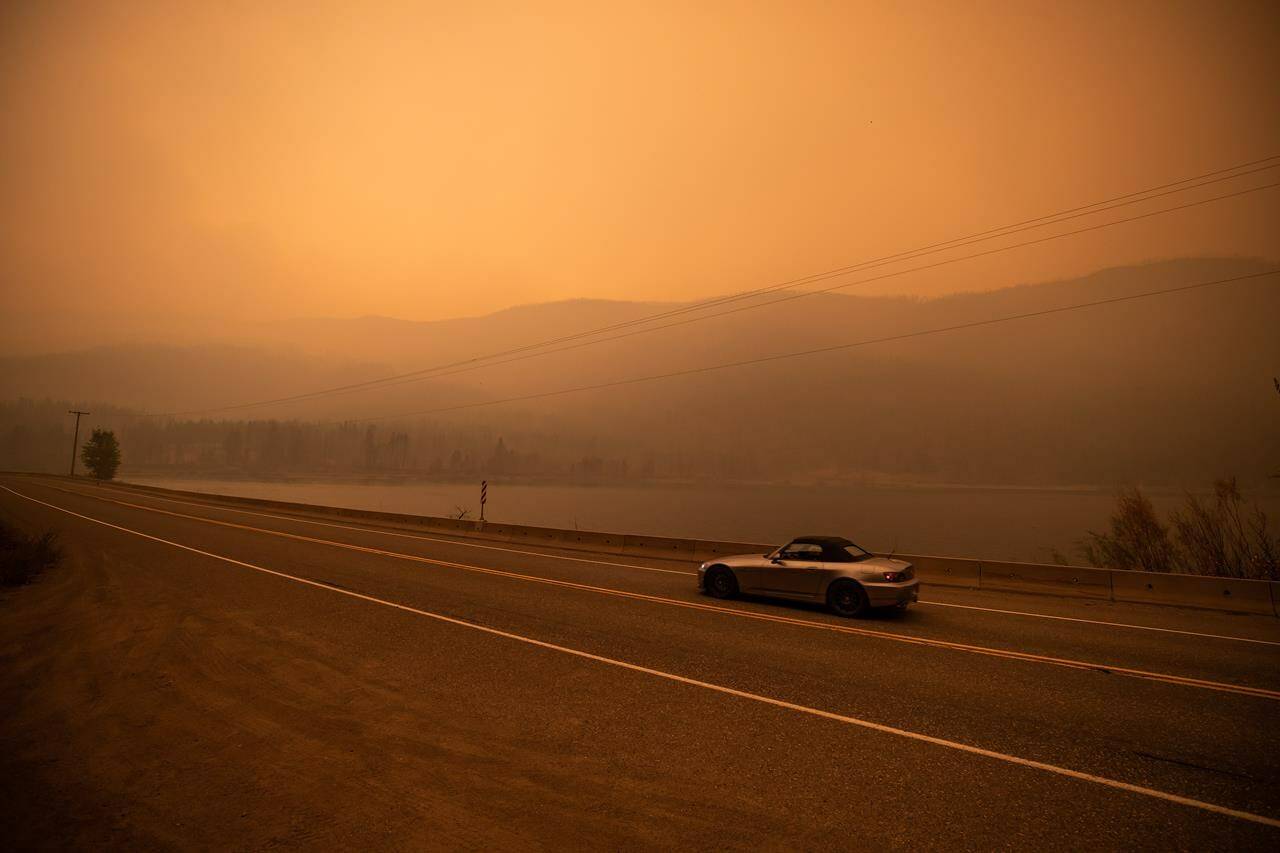
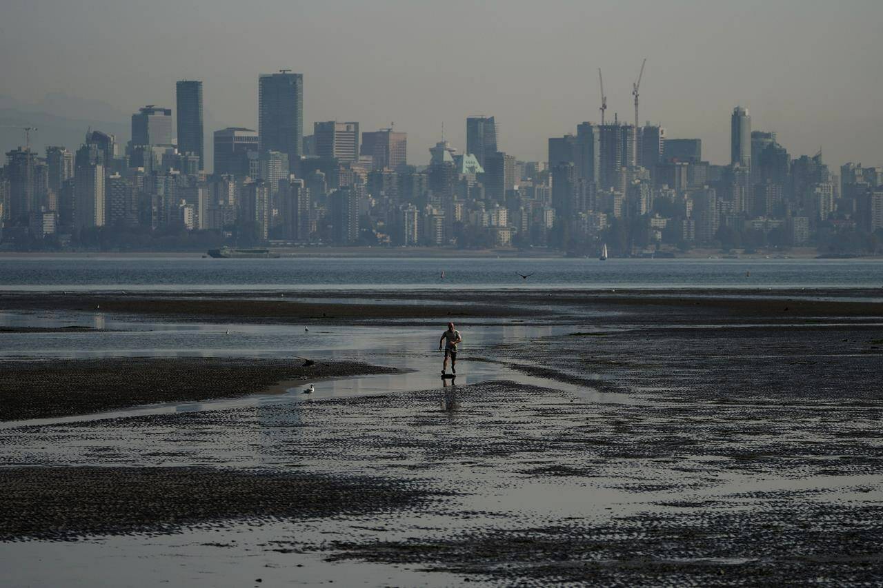
Winds reaching 61 kilometres per hour blew dark smoke over the city, but patches of sky now visible
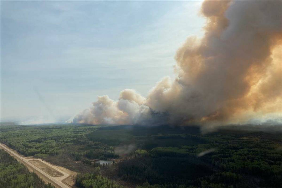
Residents still under an evacuation alert and should be prepared to leave quickly
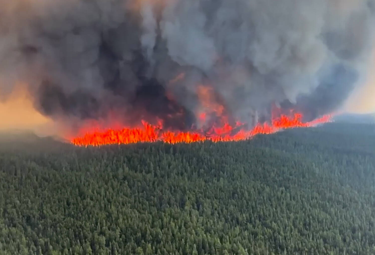
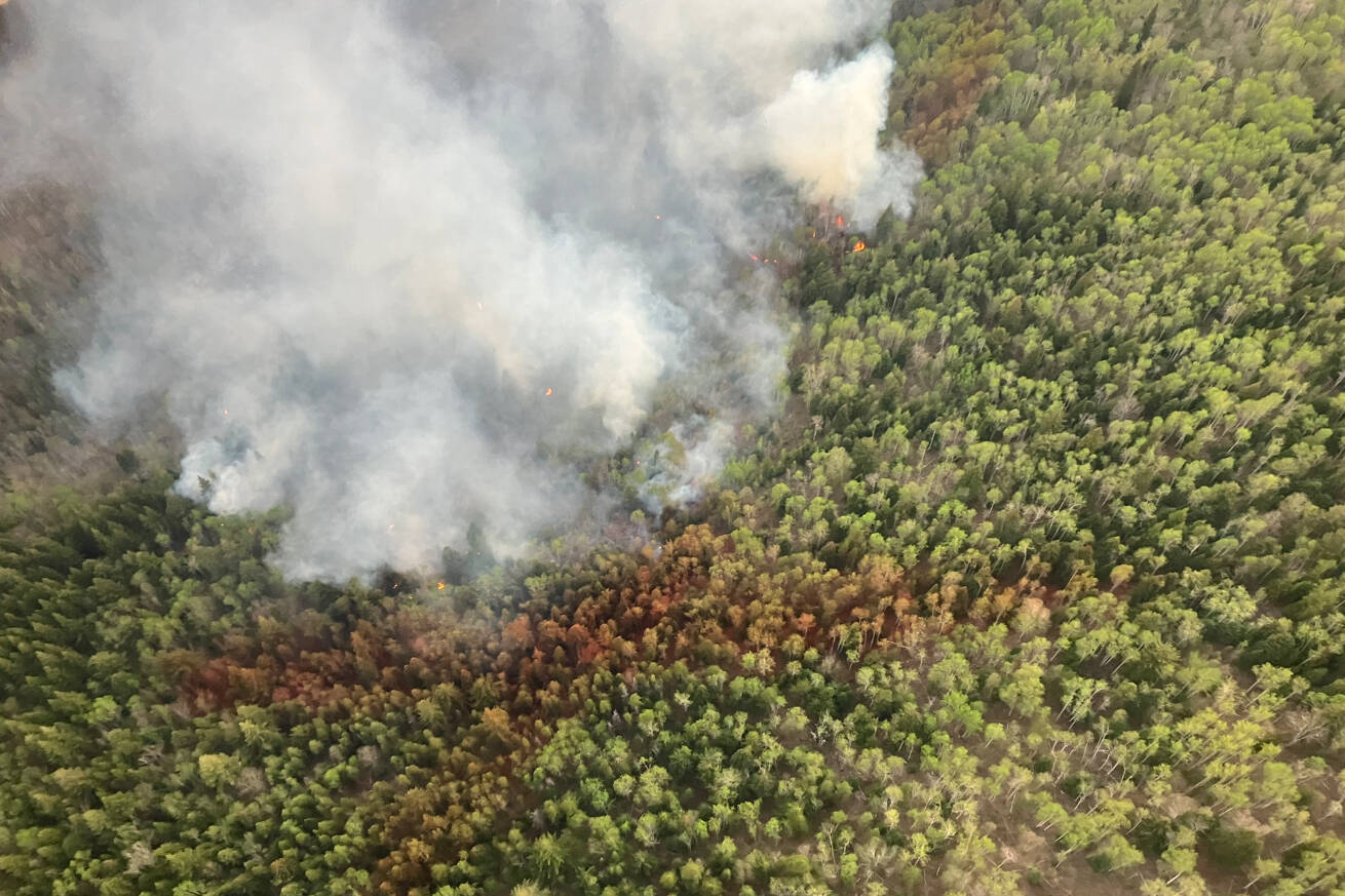
This wildfire is currently estimated to be 1,900 hectares in size
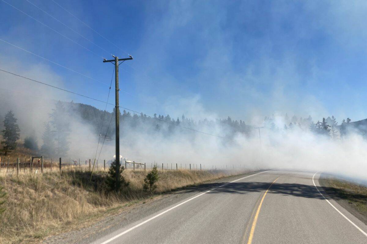
The fire is 150 hectares in size
The fire was found just before 12 p.m. on Saturday, April 29
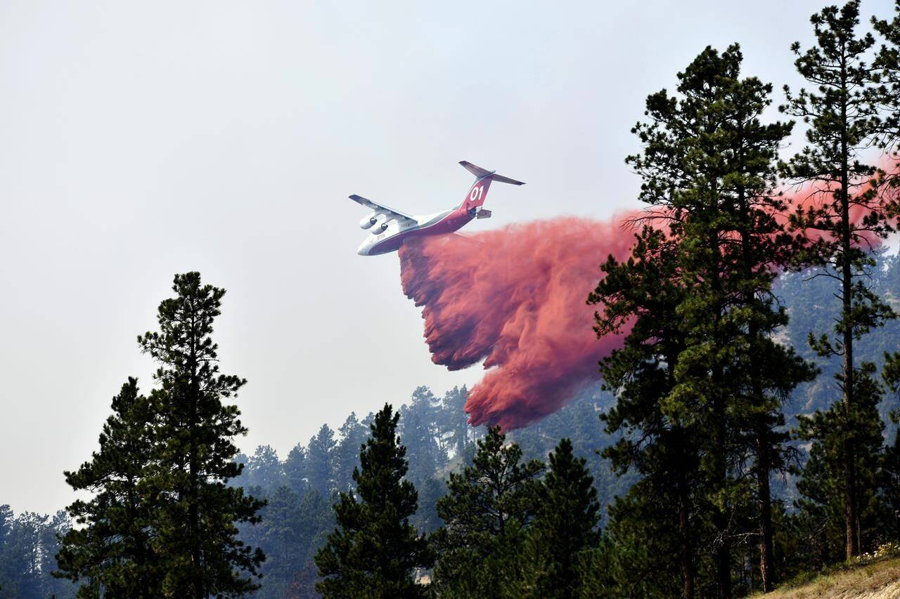
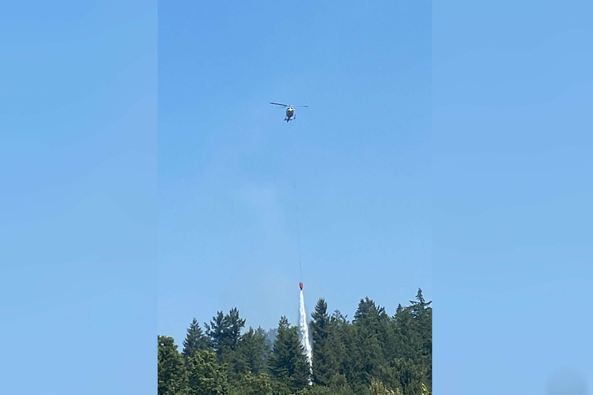
Forest Service officials say retardant is sometimes accidentally dropped into waterways
The province has seen over 50 wildfires since the season began April 1
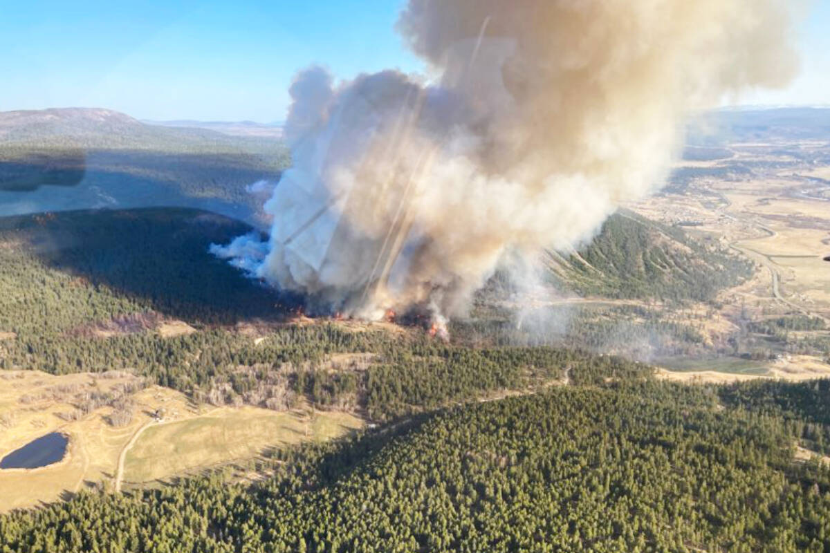
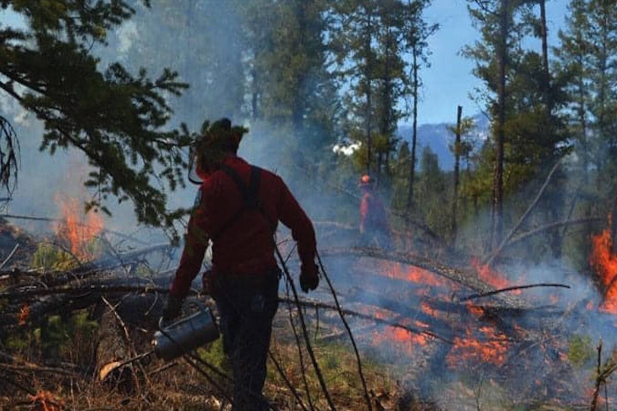
Fire sparked in Strathcona Park
Dating back to July of 2021, the Mission park has been targeted with intentional fires
Temperature records were set in 21 communities around the province
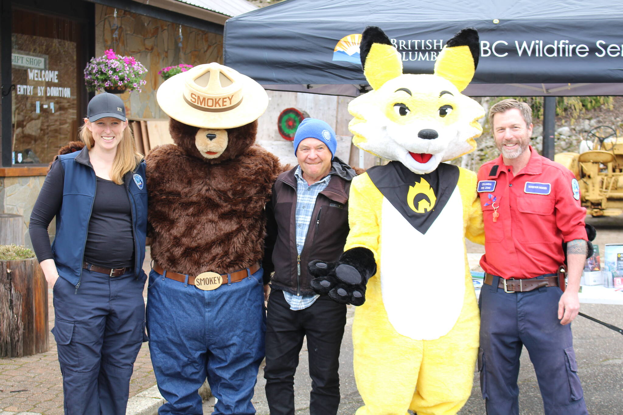
Ember the Fox replaces Smokey Bear as FireSmart mascot after nearly 80 years
Funds given to Community Futures British Columbia to distribute to small business and non-profits
Councillors of Chawathil say they and 200 band members left to deal with fire on their own
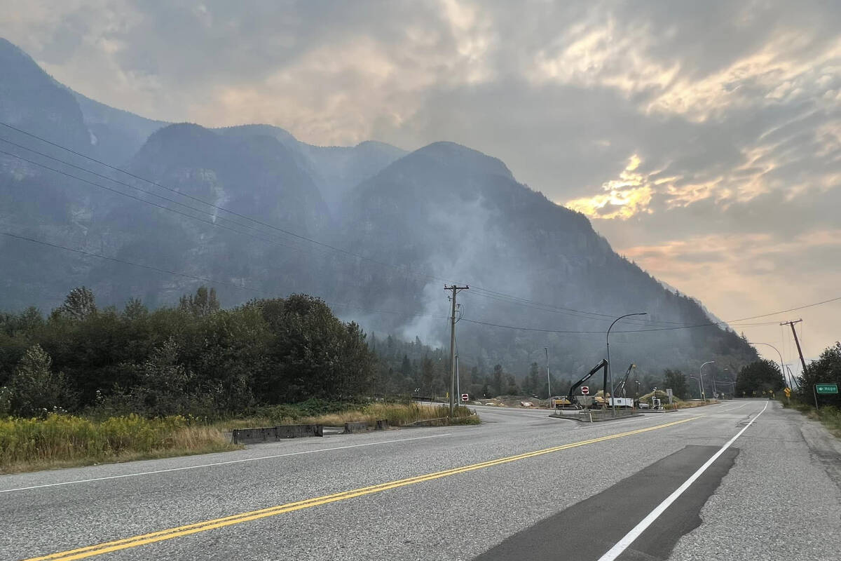
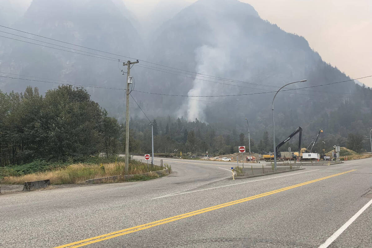
BC Wildfires Service says that the Hope wildfire is held and no longer a fire of note
District of Hope rescinded evac orders and Chawathil First Nation rescinded evac alerts
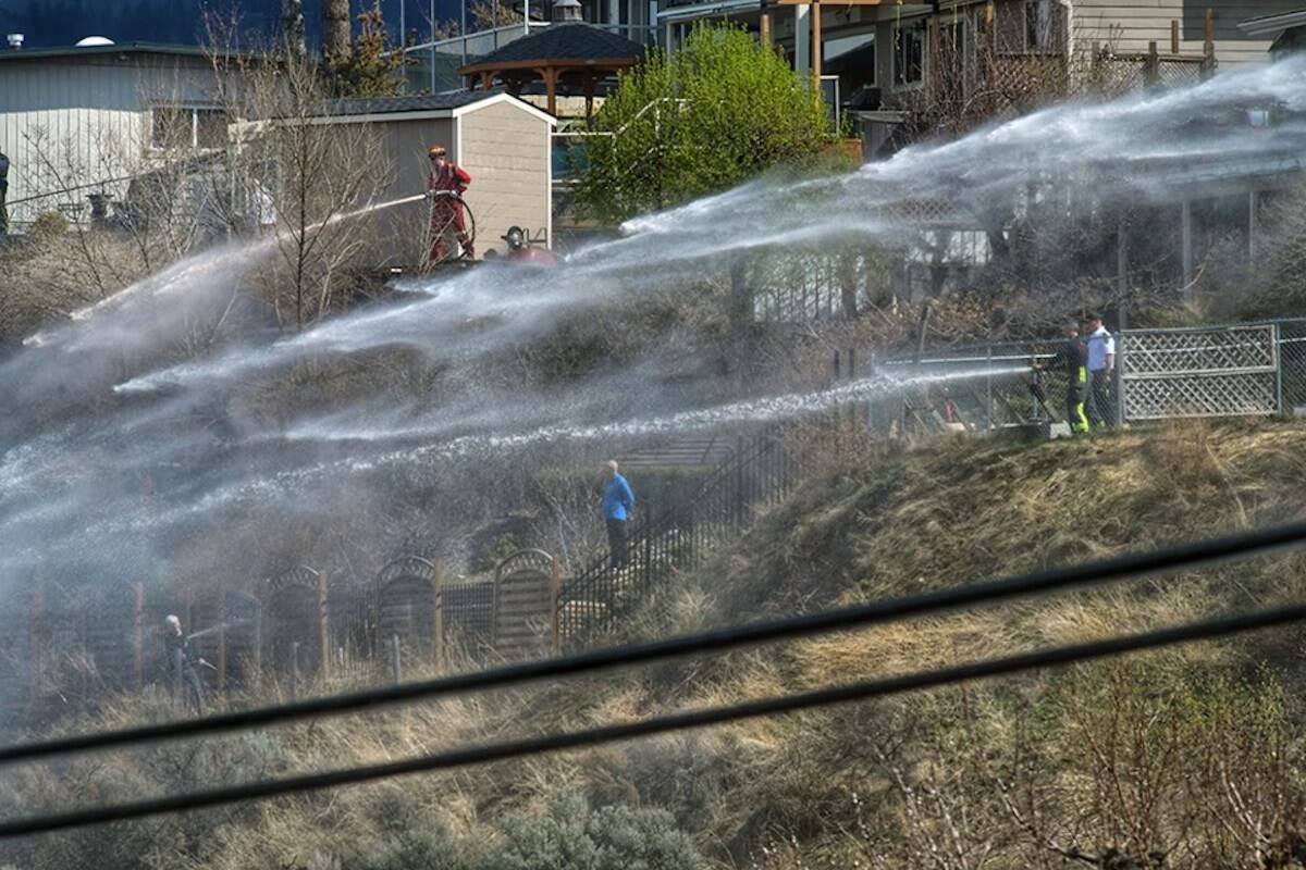
Residents of 12 properties near Flood Falls Trail wildfire can return home