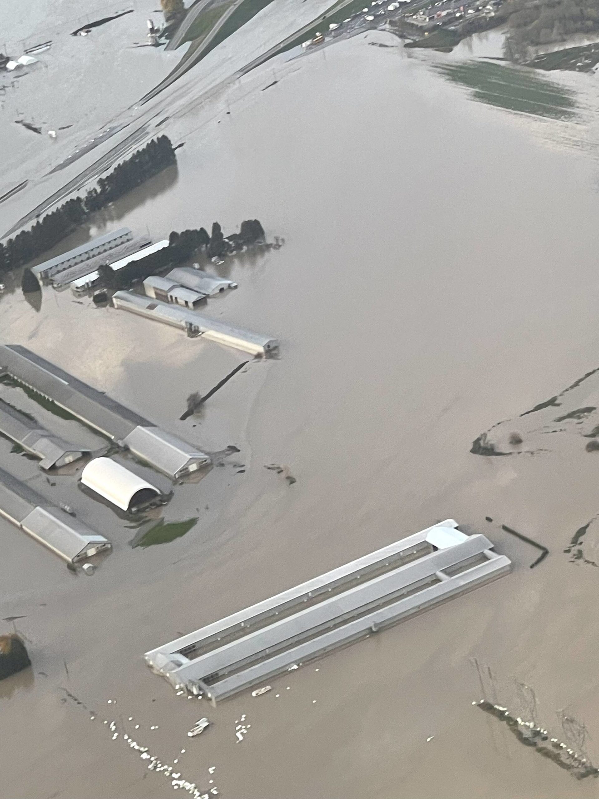
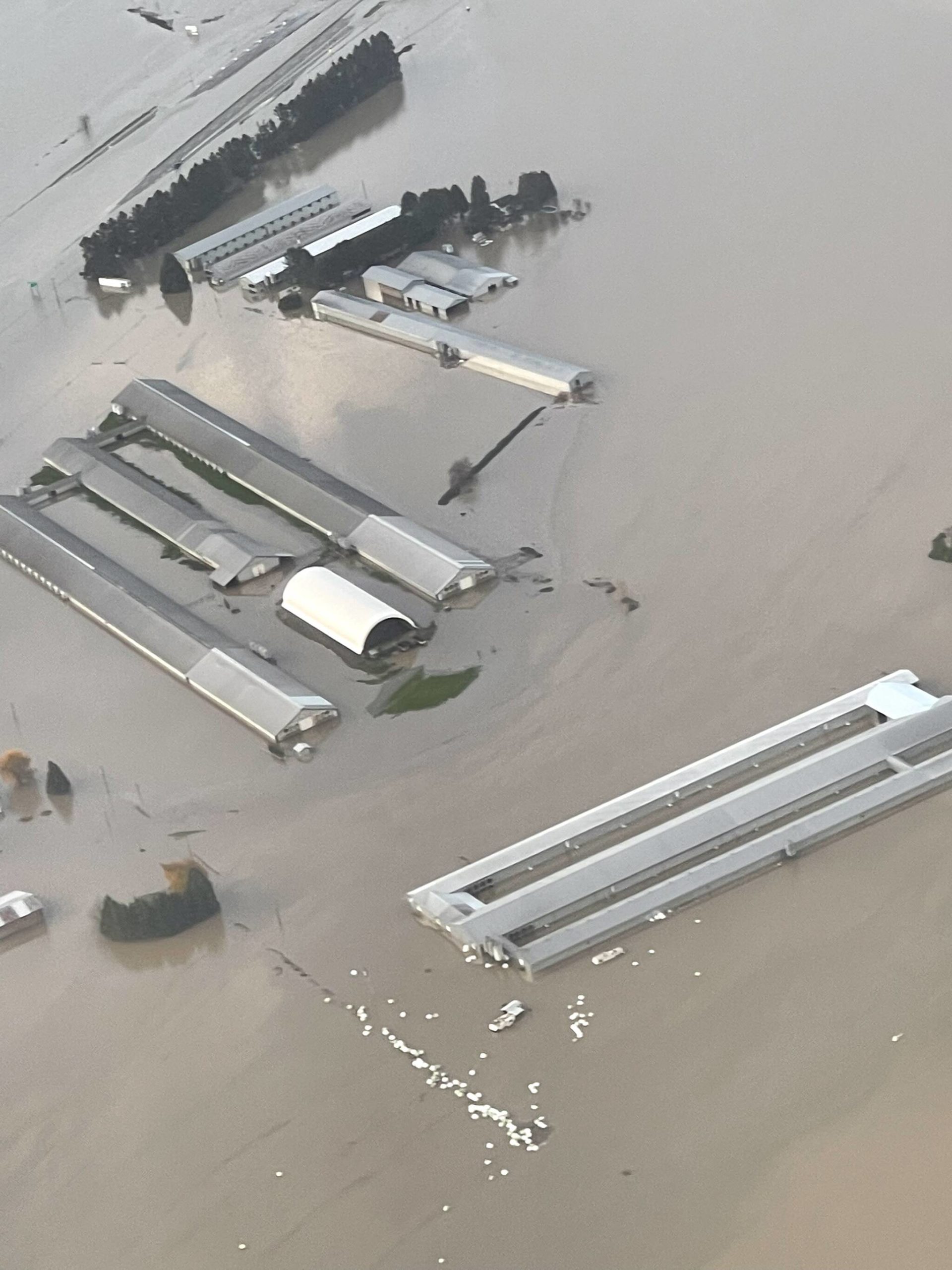
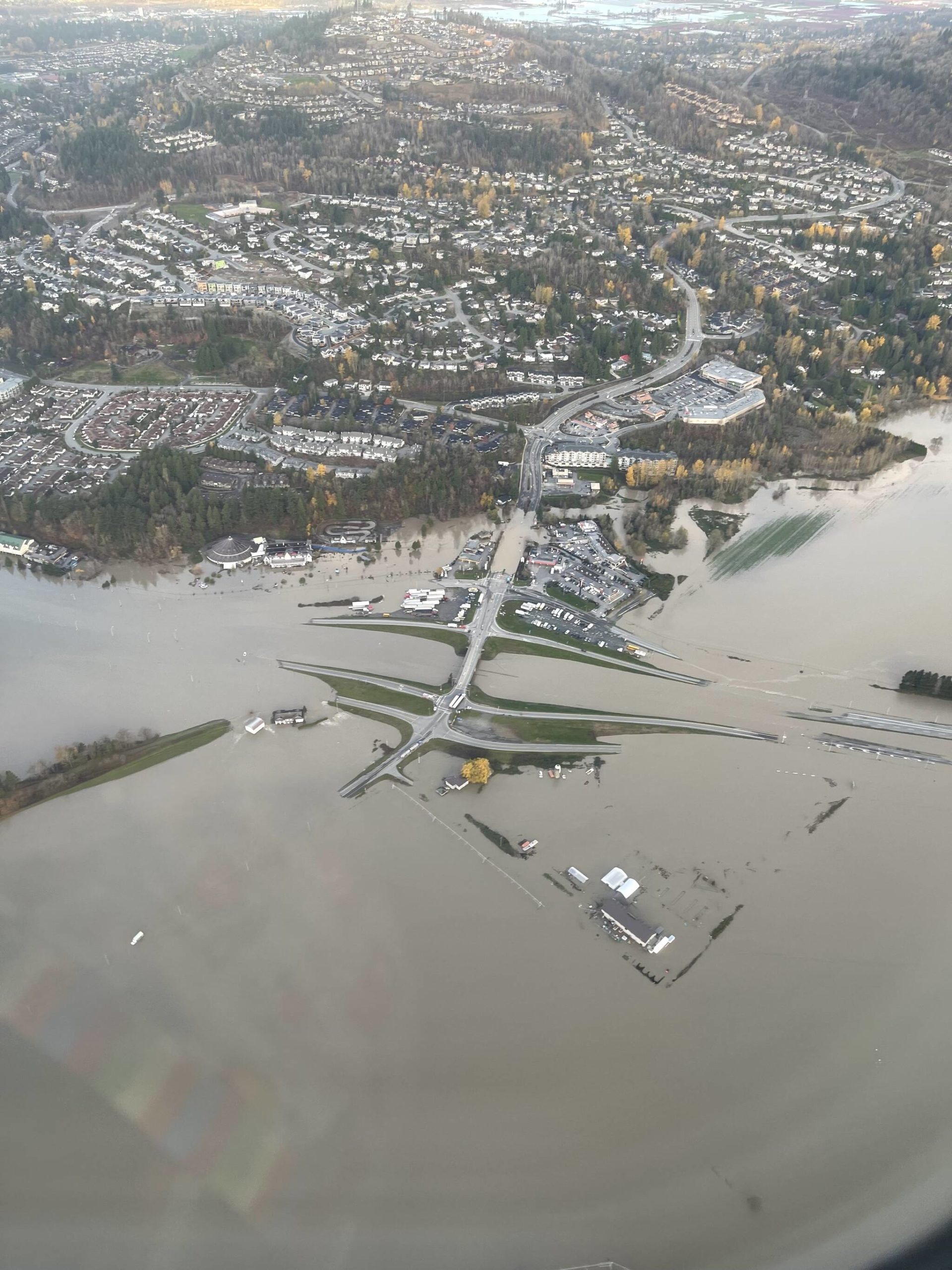
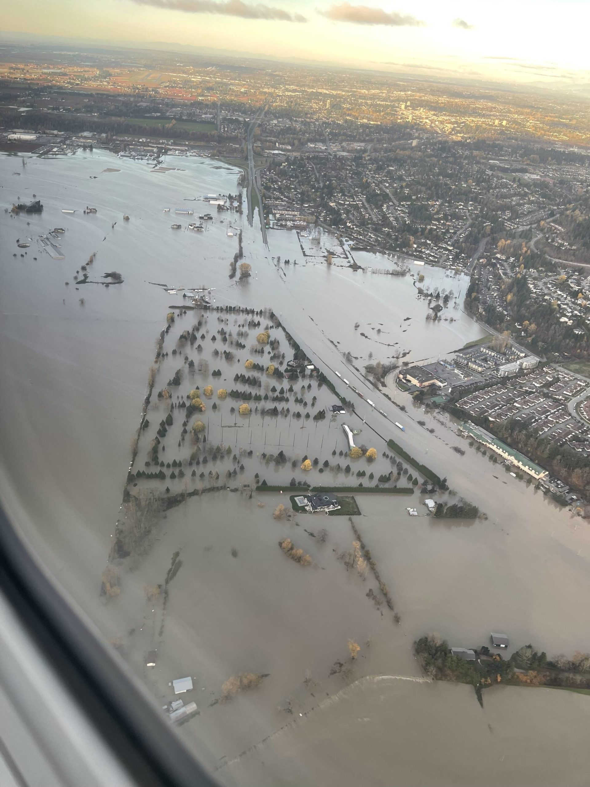
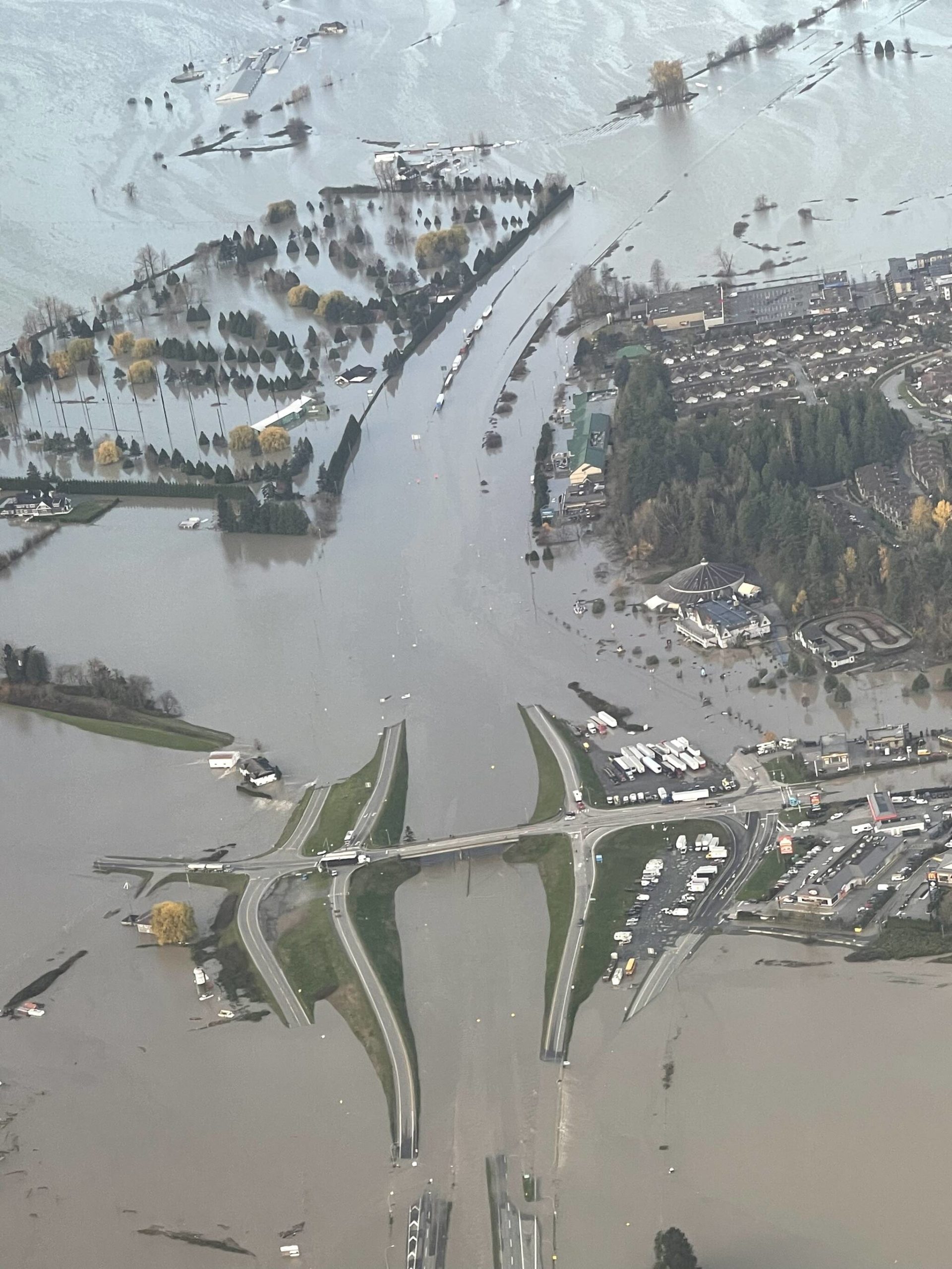
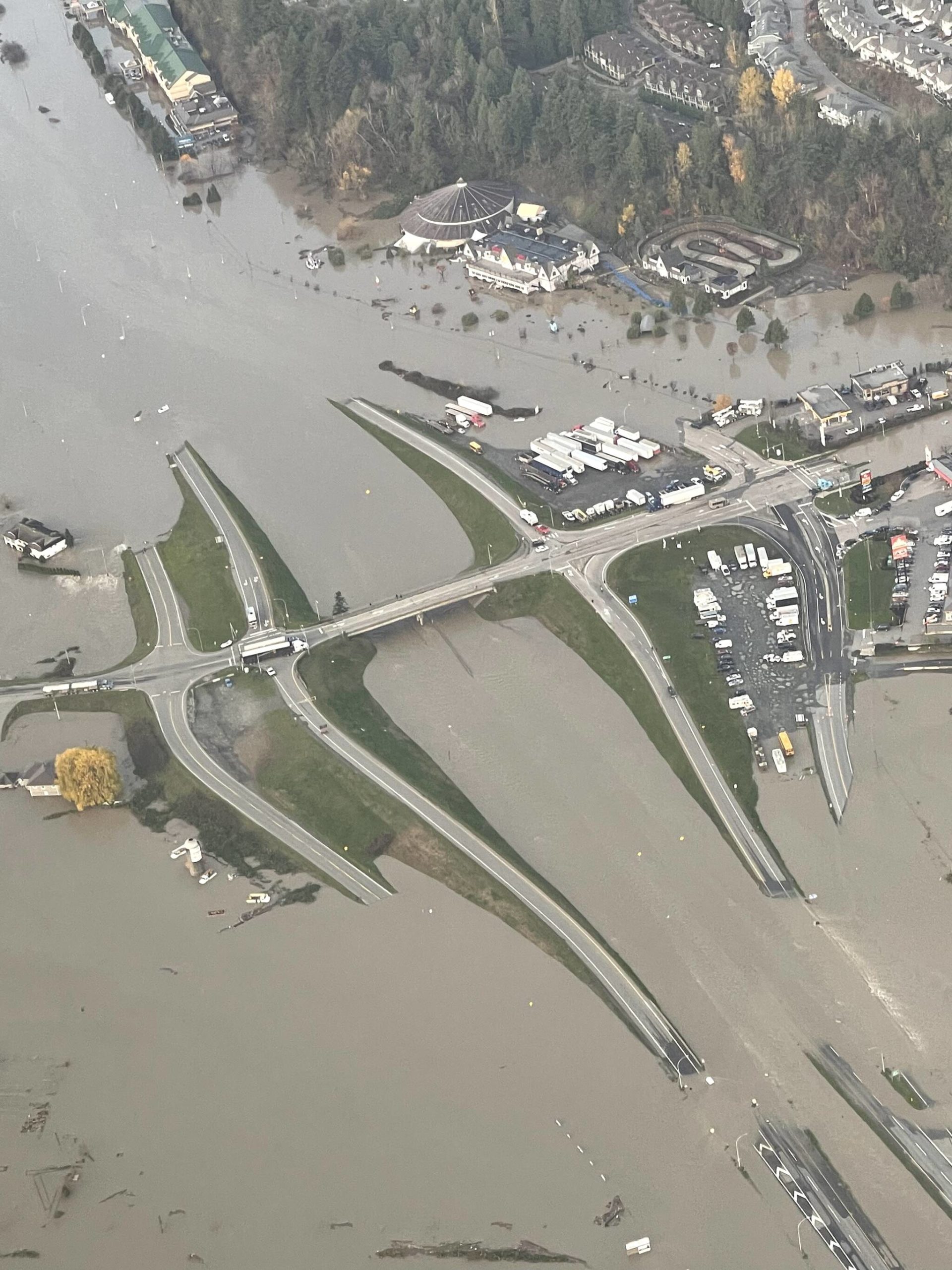
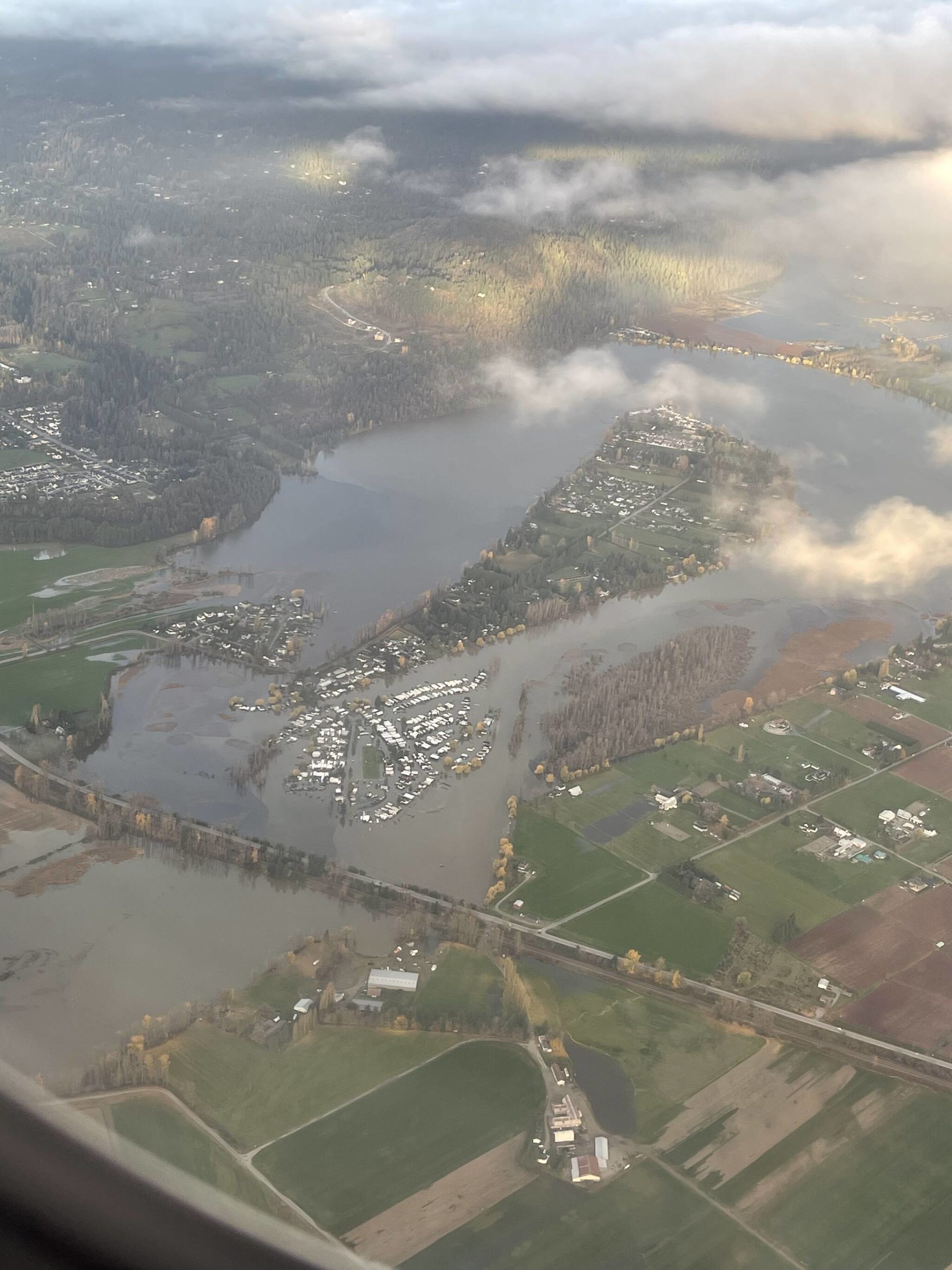
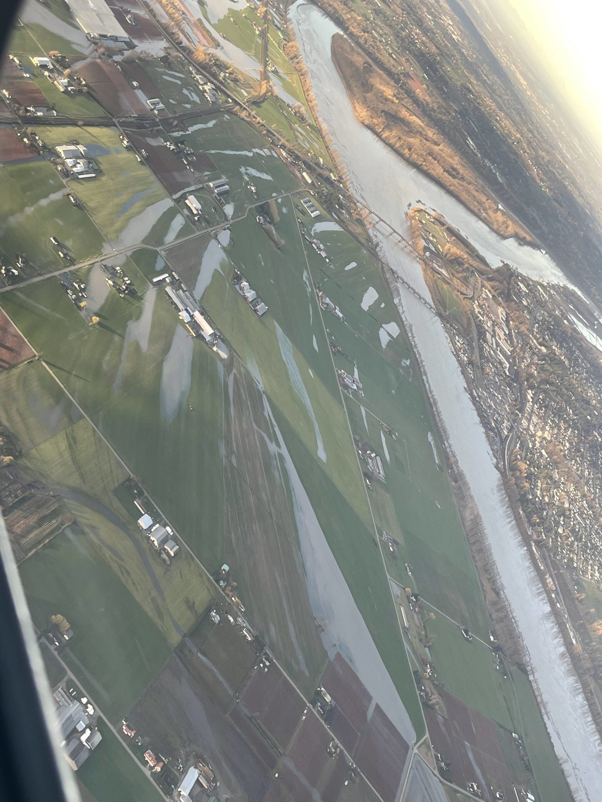
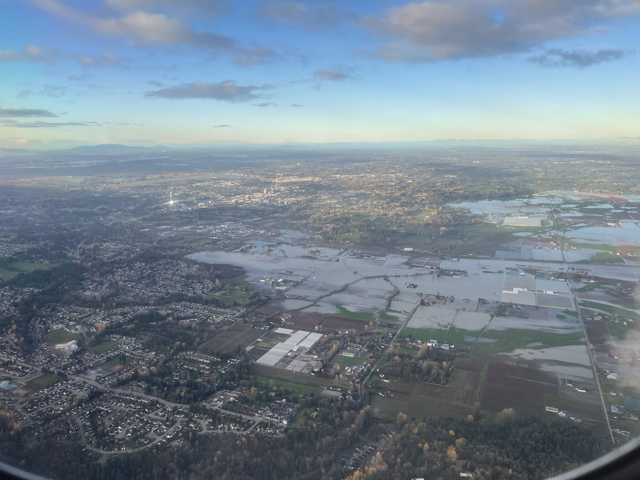
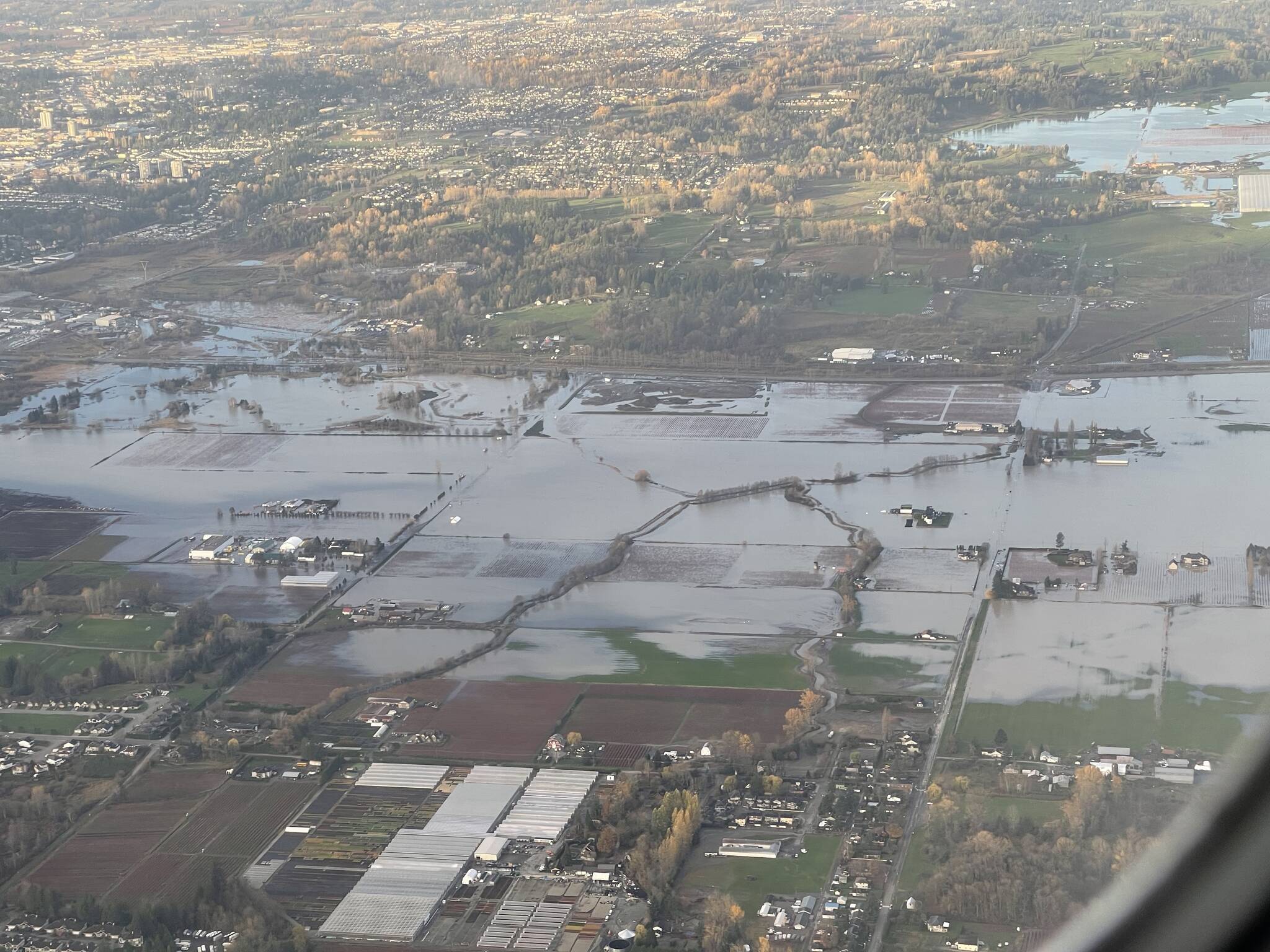
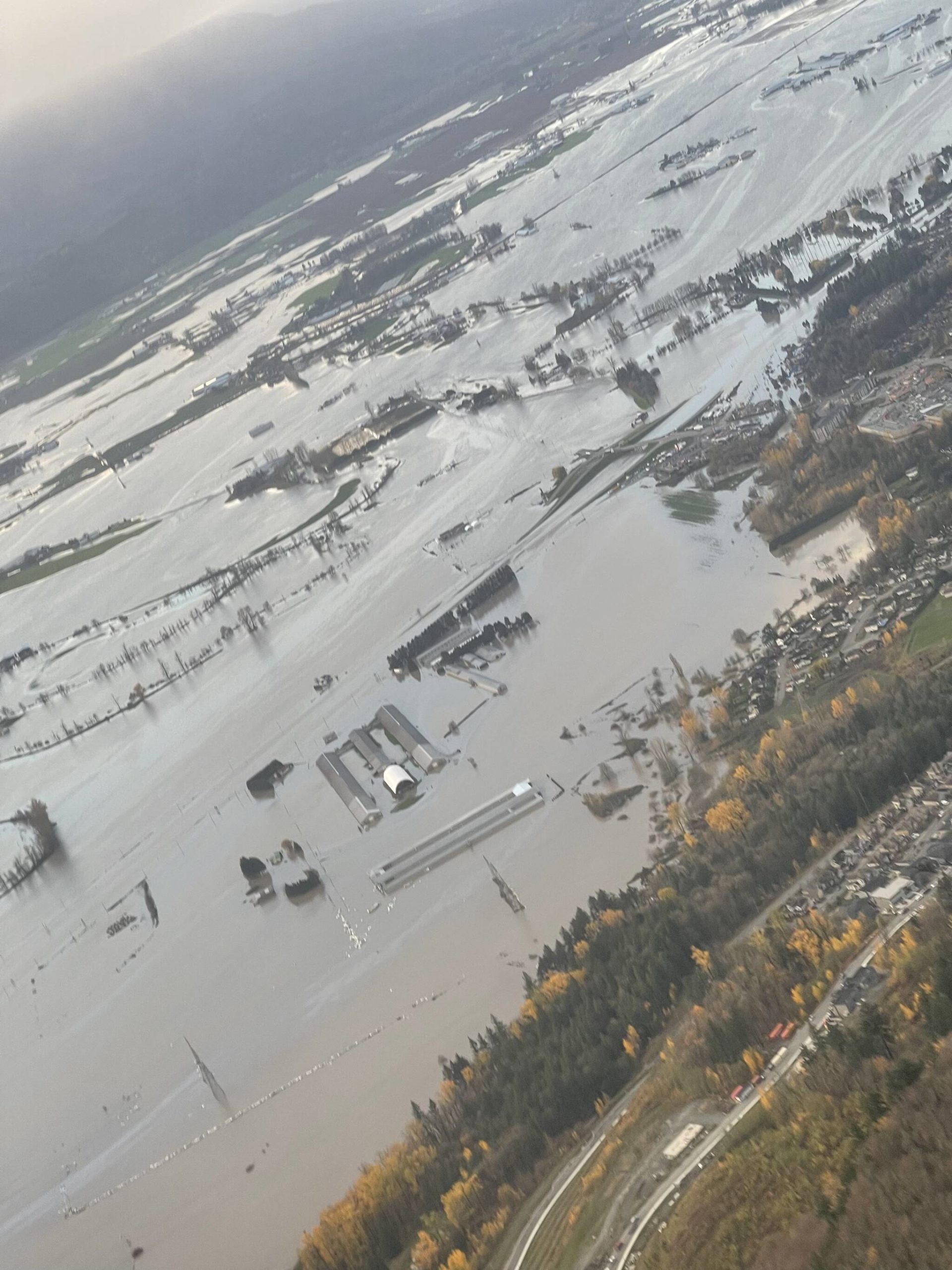
A woman coming in on a flight Tuesday morning (Nov. 16) from Edmonton to Abbotsford captured some shocking aerial photos and a video that depict the devastation of Monday’s flood.
The pictures taken by Sophia Middleton include one that has been circulated widely across social media, showing Highway 1 and the surrounding area near Whatcom Road submerged in water. Castle Fun Park can be seen to the right of the photo, with the batting cage and go-kart area still visible.
Middleton took the photos at about 8:30 a.m. Tuesday on her flight’s third – and successful – attempt to arrive in Abbotsford.
She and her two kids – a boy, 4, and a girl, 7 – took their first slight Monday morning from Edmonton, en route to visit her mom in Maple Ridge.
RELATED: ‘It’s not over for Abbotsford’: Officials brief public as flood waters pour into Sumas Prairie
The plane arrived in Abbotsford and circled the airport for 20 minutes, but was unable to land. There was also a medical emergency on board, so they returned to Edmonton.
VIDEO BY SOPHIA MIDDLETON:
Middleton said they were unable to view any land at that time because the plane couldn’t fly beneath the clouds.
She and her kids boarded a second flight Monday afternoon in Edmonton, where they waited on the tarmac for 45 minutes before the flight was cancelled.
Their third attempt Tuesday morning was successful, and Middleton was shocked to see the extent of the flood damage across Abbotsford.
“It was incredibly sad. I knew the flooding was extensive but seeing it from that view was extremely shocking and hard to process,” she told The Abbotsford News.
Middleton and her kids have since made it to safely to her mom’s place.
RELATED: Fraser Valley milk farmers told to throw out product; access to rest of Canada cut off by floods
vhopes@abbynews.com
Like us on Facebook and follow us on Twitter
